The front door to photo albums of places along the Mississippi River.

Picture of the Day: Mississippi-Ohio Confluence

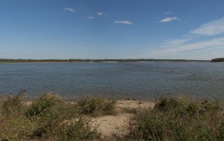
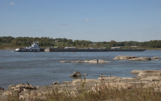
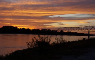
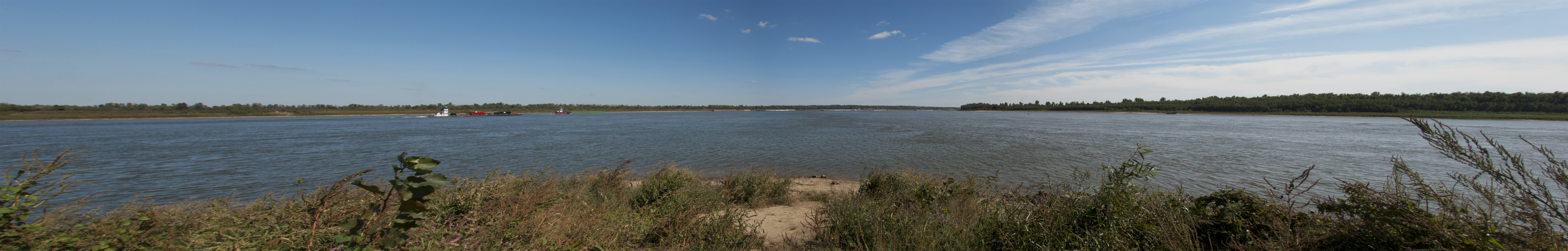
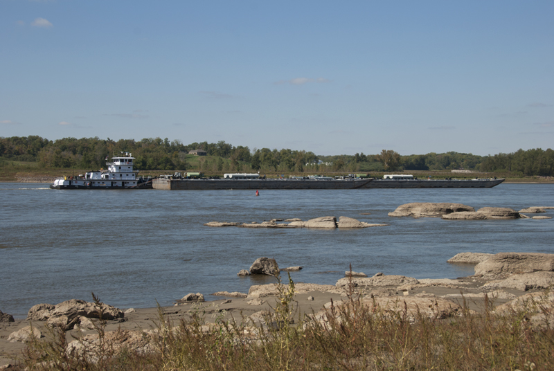
This is a composite of three photos taken at the confluence of the Ohio and Mississippi Rivers in October 2012, at Fort Defiance State Park near Cairo, Illinois; the Ohio is on the left and the Mississippi on the right. Just over a year before, the point from where I took these photos was under

By |2016-10-21T15:28:44-05:00October 31st, 2012|Photo of the Day|Comments Off on Picture of the Day: Mississippi-Ohio Confluence

Picture of the Day: Thebes Gap

Just south of Cape Girardeau (Missouri), the Mississippi River cuts a seven-mile gorge through the thick limestone of the Shawneetown Ridge. The gorge, known as the Thebes Gap or the Grand Chain, is as narrow as 3,000 feet in places and was notoriously difficult to navigate, at least until the Army Corps of Engineers began blasting

By |2016-10-21T15:28:44-05:00October 24th, 2012|Photo of the Day|2 Comments

Picture of the Day: Get Your Fish Here

You can still find fisheries along the Mississippi River, although they are far less common than they once were. This place is in Niota, IL (across the Mississippi River from Fort Madison, Iowa). Photo taken February 2012.   Niota, IL  

By |2017-06-05T17:53:13-05:00September 26th, 2012|Photo of the Day|Comments Off on Picture of the Day: Get Your Fish Here
Go to Top