Population (2010)
898
Visitor Information
For tips on the local scene, contact the Fort Madison Area Convention & Tourism Bureau (800.210.8687).
History
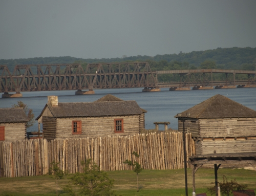
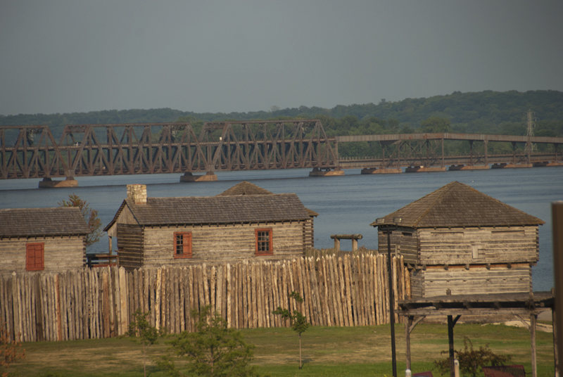
Located at the head of the Des Moines Rapids, this site has attracted settlements for a long time. When Europeans arrived, they found a Sauk village called Wo-Se-Nack. Europeans began settling in the area as early as 1799 under Spanish land grants. More folks began to move in during the 1830s, around the time the military built Fort Des Moines,an outpost that was never a high priority for the military and where living conditions were harsh. Perhaps that’s why the fort had one of the highest desertion rates of any military establishment in the US.
Keokuk’s David Kilbourne platted a village in 1836 and named it Mount of Roses after the roses that were growing on the hill sides. The name was later condensed to Montrose. The village was apparently not a pretty sight in the early years. One traveler who visited Montrose in 1849 wrote:
Montrose, the head of the ‘Lower Rapids.’ It looks as though it was built in one day some ten years ago—the inhabitants got drunk the same night and remained drunk ever since. A sad spectacle of little old weather beaten, unpainted houses.”
–From Dr. Franklin, No. 2; Editorial correspondence to Minnesota Pioneer (St. Paul); Nov 15 1849.
By the 1850s, the town’s fortunes picked up, thanks to increasing river traffic and those rapids. Boats stopped at Montrose to lighten their load before crossing the rapids, then reloaded at Keokuk. This created some good business opportunities, especially if you owned a warehouse, a place to eat and drink, or were good at moving goods over land or in a flat boat through the rapids. Unfortunately, that period of prosperity was rather brief. When the government canal opened in 1877, boats no longer needed to lighten at Montrose.
Montrose had a ferry connection to Nauvoo for many years, but there was also a cultural connection. Before building a new home for themselves across the river at Nauvoo, many Mormons lived in the old bunkhouses of abandoned Fort Des Moines. A few years later, as they were being driven out of Nauvoo, another group of Mormons built temporary camps outside of Montrose along Sugar Creek, before continuing on to Utah.
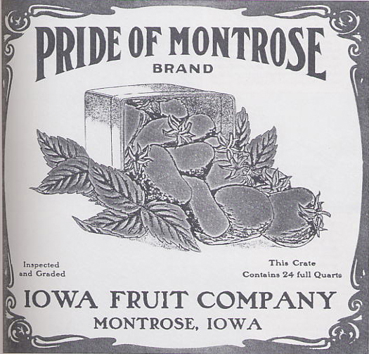
There was something of a booming business district where Horton’s Creek met the Mississippi, with a button factory, a distillery, sawmill, canning factories, an ice company, even an opera house; the area was apparently known as Catarogus. Much of that area was submerged, though, when the dam was built at Keokuk.
As blacks migrated into Iowa after the Civil War, Montrose was one community where they were not welcome. It was known as a “sundown town”, a place that had a policy, usually official but always understood, that prohibited African Americans from living in it.
There was once a very popular hilltop resort just south of Montrose called Bluff Park; it even had its railroad station. The park attracted visitors from throughout the Midwest; many stayed for a week or two, while others stayed all summer. Once you were atop the bluff, you’d find places to eat and dance, to help you while away those summer months while looking down at the Mississippi.
Exploring the Area
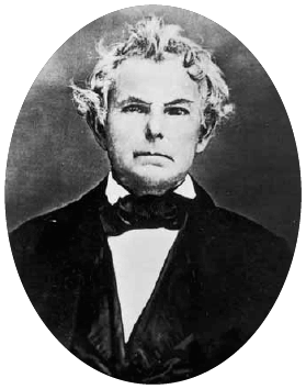
Just to the north of Montrose, there is a marker for Ka-La-We-Quois. Her mother was a Sauk Indian and her father French; she died in 1838 at age 18 after living with tuberculosis for seven years. The story of her tragic death and the care provided by her devoted mother captured the attention of the popular press in the country, which inspired Mrs. Lydia Sigourney to write a particularly hideous poem called The Indian Girl’s Burial. Here’s a sample:
She was a gentle creature,
Of raven eye and tress,
And dovelike where the tones that breath’d
Her bosom’s tenderness;
Save when some quick emotion
The warm blood strongly sent
To revel in her olive cheek,
So richly eloquent.”
The Hunold Heritage Center (N. 1st St.; open weekends in summer) is preserving the village’s history, with displays on railroad history, local industries, and historic photos.
Parks Along the Mississippi River
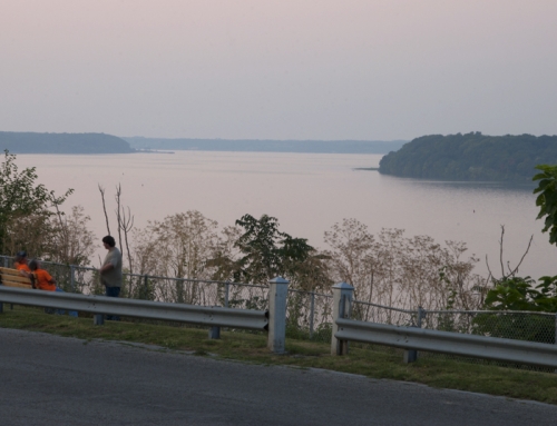
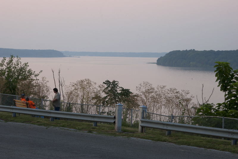
The Linger Longer Rest Area (Highway 61 at Mississippi River Rd.) has a good view of the river and the rebuilt Mormon temple across the river at Nauvoo.
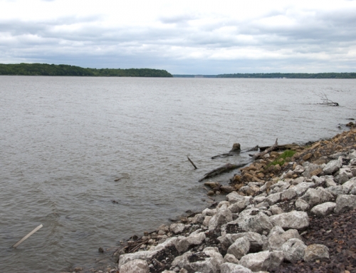
Montrose Riverview Park (Chestnut St.) is a pleasant little park between downtown and the river and the site where Fort Des Moines once stood.
Entertainment and Events
Festivals
Montrose’s Watermelon Festival has been a summer staple for over 60 years (end of August).

**Looking for more places to visit along the Mississippi River? Check out Road Tripping Along the Great River Road, Vol. 1. Click the link above for more. Disclosure: This website may be compensated for linking to other sites or for sales of products we link to.
Where to Sleep
Budget
Right on the river, Pelican Peg’s (3046 Koehler Lane; 319.463.5955) can accommodate up to four people in a small house next to the river. It includes a private bath, a deck with river views, and a continental breakfast.
Resources
- Montrose Memorial Library: 200 Main St.
- Post Office: 400 Main St.
Where to Go Next
Heading upriver? Check out Fort Madison.
Heading downriver? Check out Galland.
Community-supported writing
If you like the content at the Mississippi Valley Traveler, please consider showing your support by making a one-time contribution or by subscribing through Patreon. Book sales don’t fully cover my costs, and I don’t have deep corporate pockets bankrolling my work. I’m a freelance writer bringing you stories about life along the Mississippi River. I need your help to keep this going. Every dollar you contribute makes it possible for me to continue sharing stories about America’s Greatest River!
Montrose Photographs


A Song for Montrose
Singer William Elliott Whitmore grew up near Montrose. Here’s one of his songs about living through a Mississippi River flood.
Lee County Flood from Song of the Blackbird by William Elliott Whitmore (2006)
©Dean Klinkenberg, 2024, 2021, 2018,2013,2011