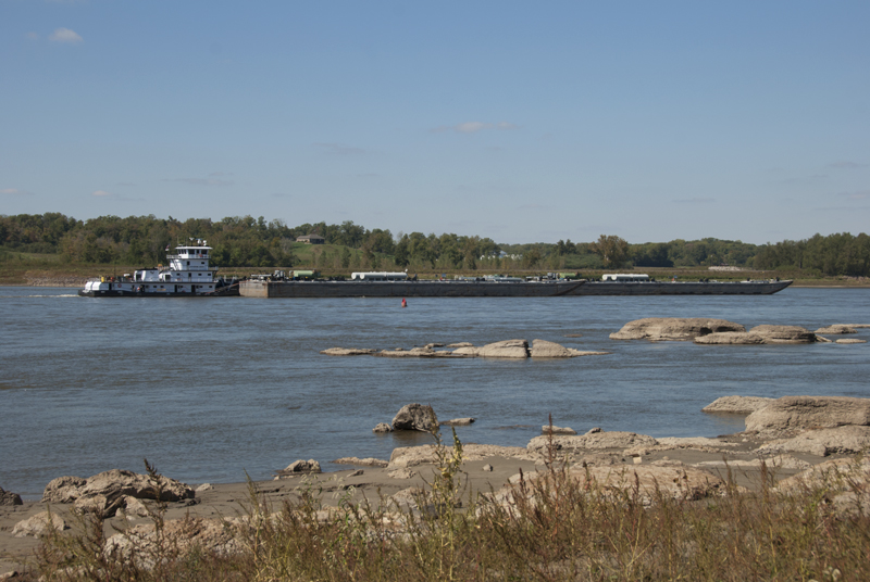
Just south of Cape Girardeau (Missouri), the Mississippi River cuts a seven-mile gorge through the thick limestone of the Shawneetown Ridge. The gorge, known as the Thebes Gap or the Grand Chain, is as narrow as 3,000 feet in places and was notoriously difficult to navigate, at least until the Army Corps of Engineers began blasting away rock to expand the channel. With the Mississippi River so low right now, you can see many of the rocks that form the Grand Chain and get a sense of the challenges the area posed to riverboat captains of the past. (Photo taken October 2012)
See more pictures here.

Thanks, Steve! I’ll check it out. I remember hearing about this a few years ago.
Hi Dean. Met you at a river cleanup and party at Mosenthein last year. Was googling around about some rock art in the Thebes area and found this post of yours. Thoufht i’d share some of ehat i found about a Mississippian era petroglyph river map found in that area on the river bank (probably under water now).
http://www.academia.edu/6335923/A_Pre-Columbian_Map_of_the_Mississippi
http://users.stlcc.edu/mfuller/commerce.html