
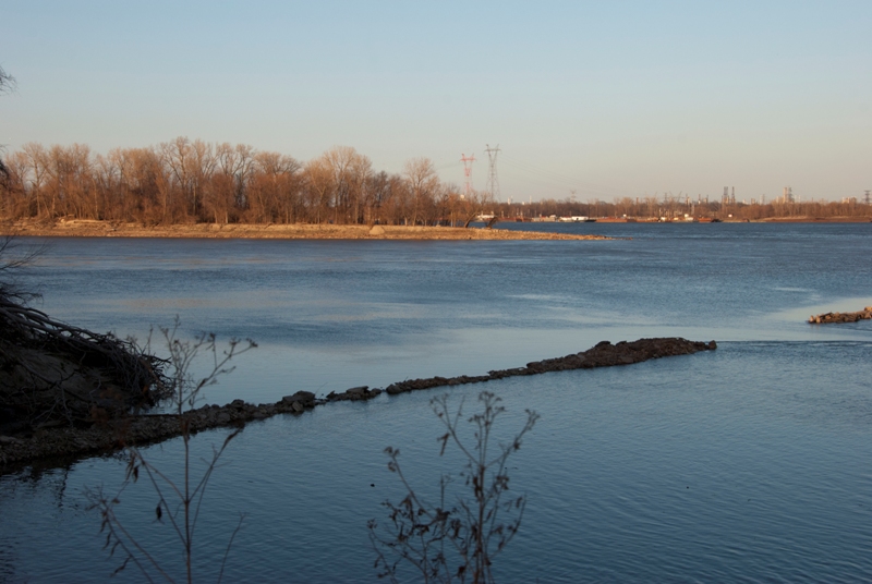
Picture of the Day: Confluence High Water
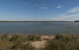
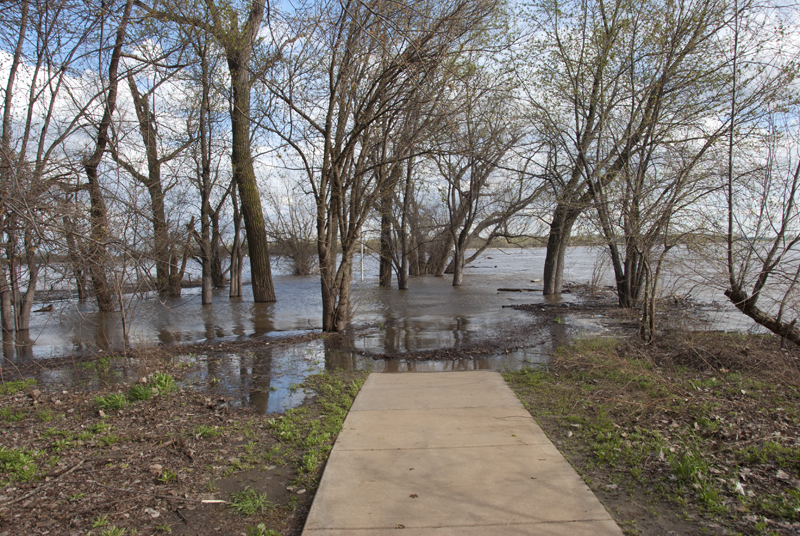
Heavy rains in late March and April have awoken the Mississippi River from its winter slumber. Here are two pictures from about the same spot at Jones Confluence State Park that show the water level now (April 19, 2013) and when it was at a more typical level (Sept 2006). See more pictures here.
