Posts that highlight a place along the Mississippi River

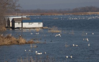
Picture of the Day: Tundra Swans

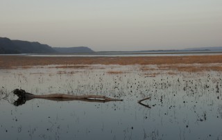
Tundra swans have returned to the Mississippi Valley for their annual autumn visit. Last weekend south of Brownsville, the area north of Lock and Dam #8 counted some 10,000 swans, with a few thousand more yet to come. The photo below was taken last Sunday (November 18, 2012). See more Pictures of the Day here. Tundra
By |2016-10-21T15:28:43-05:00November 21st, 2012|Photo of the Day|Comments Off on Picture of the Day: Tundra Swans

Picture of the Day: Mississippi-Ohio Confluence

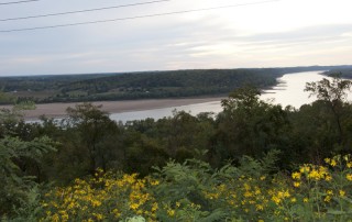
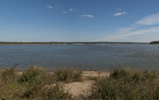
This is a composite of three photos taken at the confluence of the Ohio and Mississippi Rivers in October 2012, at Fort Defiance State Park near Cairo, Illinois; the Ohio is on the left and the Mississippi on the right. Just over a year before, the point from where I took these photos was under

By |2016-10-21T15:28:44-05:00October 31st, 2012|Photo of the Day|Comments Off on Picture of the Day: Mississippi-Ohio Confluence

Picture of the Day: Thebes Gap

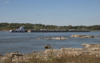
Just south of Cape Girardeau (Missouri), the Mississippi River cuts a seven-mile gorge through the thick limestone of the Shawneetown Ridge. The gorge, known as the Thebes Gap or the Grand Chain, is as narrow as 3,000 feet in places and was notoriously difficult to navigate, at least until the Army Corps of Engineers began blasting

By |2016-10-21T15:28:44-05:00October 24th, 2012|Photo of the Day|2 Comments
Go to Top