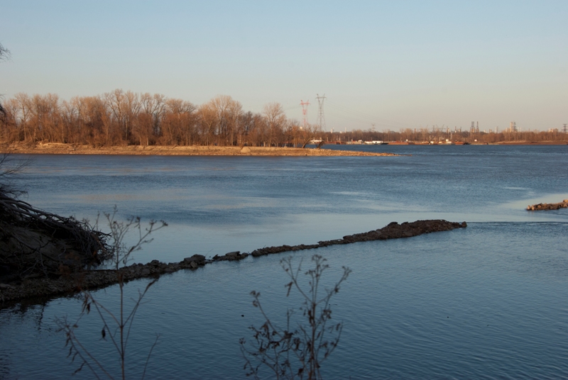
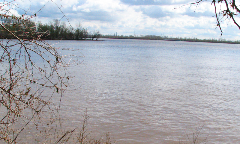
Here are two pictures from Confluence Point, where the Mississippi and Missouri Rivers become one (just north of St. Louis). The Missouri River is to the left, ending its 2300-mile journey. The Mississippi River is on the right, some 1,150 miles from its headwaters in northern Minnesota. The top photo was taken just last week; the river level is lower than I’ve seen in quite a while. The bottom picture shows the confluence at time of higher water (April 2007). Use the trees at the point as your visual aide.
See more Photos of the Day here.
