Population (2010)
30
Introduction
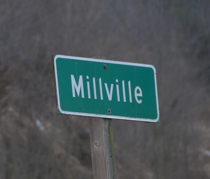
You wouldn’t guess it today, but in 1883, with a population of about 50, Millville was touted as Iowa’s most rapidly growing town. Today, only the weeds around the highway are growing rapidly.
Visitor Information
Direct your questions to Guttenberg Development and Tourism, which maintains a visitor information center that is conveniently located along Guttenberg’s riverfront (323 S. River Park Dr.; 563.252.2323). Even when the center is not staffed, the porch is open 24/7 and full of brochures.
History
If there was an award for the most rapidly contracting town, it might go to Millville—in the 1930s. The town’s decline can be traced to the completion of US Highway 52 in 1931. In short order, several businesses shut their doors (people could easily drive to other towns to shop) and the railroad cut off service (trucks replaced trains for freight delivery). Millville’s fortunes have also been hurt by severe flooding from the Little Turkey River. On the bright side, the town was electrified in 1941. That’s about all I’ve got for Millville.
Exploring the Area
Sports & Recreation
Just northeast of Millville, there is a gem of a preserve hidden at the end of a dirt road: Turkey River Mounds State Preserve (Estes Point Rd.; 563.873.2341). The site is home to 38 burial mounds that date to the Woodland Period (500 BCE–900 CE); most are conical, but there is a panther effigy, too. There are no maintained trails and the mounds are not groomed, but if you want a challenging hike with good views, this will work for you, plus you are likely to have the place to yourself. You can hike through any part of the preserve but the quickest route to the mounds (in the northwest part of the preserve) is as follows: park at the triangle formed where a private road branches to the north and Estes Point Road narrows; walk east along the road and, after you pass the sign for the preserve, hike uphill. You can hike along the ridge from the mounds at the northwest end for about a mile to the spot where the flag pole sits at the southeast end (about 250 feet above the valley), with only a few anxious moments where the path narrows next to steep cliffs. You should be in good shape for this hike and wear hiking shoes that can handle slippery terrain.
Getting on the River
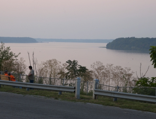
The Cassville Car Ferry (608.725.5180) connects rural Clayton County to Cassville, Wisconsin. From Highway 52 at Millville, take County Road C9Y until you see the signs for the ferry (near an electrical substation); follow the gravel road to the landing. Cash only.

**Looking for more places to visit along the Mississippi River? Check out Road Tripping Along the Great River Road, Vol. 1. Click the link above for more. Disclosure: This website may be compensated for linking to other sites or for sales of products we link to.
Where to Go Next
Heading upriver? Check out Guttenberg.
Heading downriver? Check out North Buena Vista.
Community-supported writing
If you like the content at the Mississippi Valley Traveler, please consider showing your support by making a one-time contribution or by subscribing through Patreon. Book sales don’t fully cover my costs, and I don’t have deep corporate pockets bankrolling my work. I’m a freelance writer bringing you stories about life along the Mississippi River. I need your help to keep this going. Every dollar you contribute makes it possible for me to continue sharing stories about America’s Greatest River!
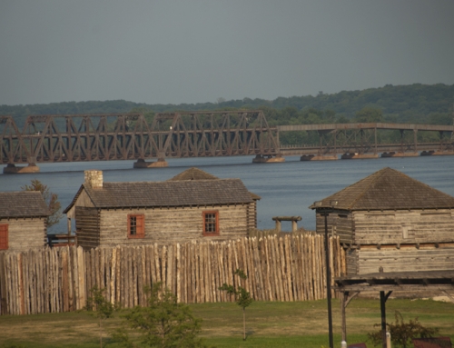
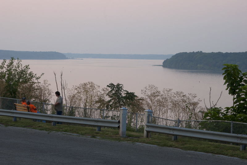
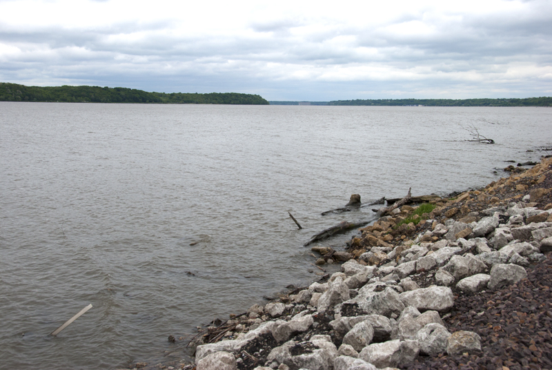
Millville Area Photographs


©Dean Klinkenberg, 2024, 2021, 2018,2013,2011