
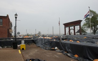
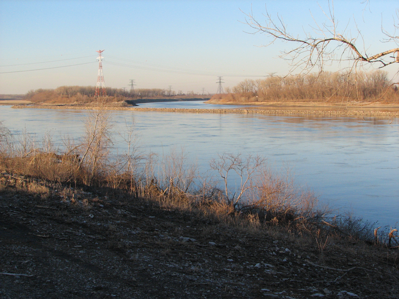
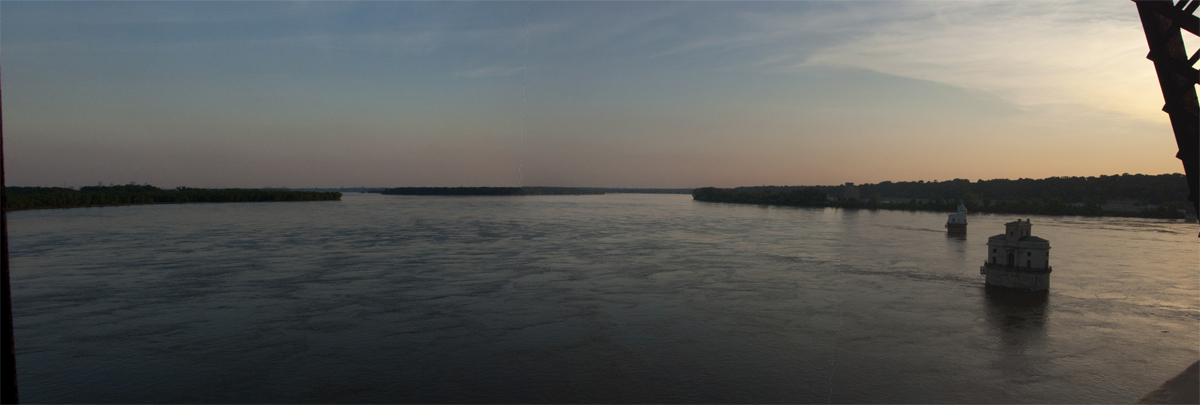
Destination of the Day: St. Louis Riverfront Trail
View along the St. Louis Riverfront Trail The St. Louis Riverfront Trail runs 11 miles from downtown to the Chain of Rocks Bridge, through an industrial landscape, past two 100 year old bridges, and along the only stretch of the Upper Mississippi River south of Minneapolis that has no commercial navigation. Not a


