Population (2010)
47
Visitor Information
Get your questions answered from the folks at the Pike County Chamber of Commerce (217.285.2971).
History
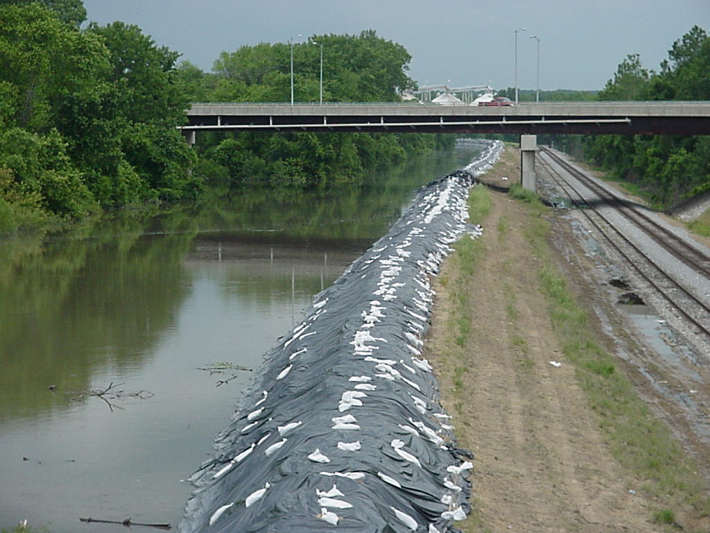
Shaved off of Kinderhook Township in 1875, Levee Township takes its name from the big Sny Island Levee that keeps the Mississippi River out of its traditional floodplain.
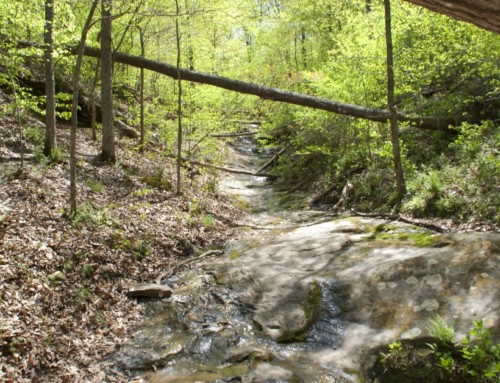
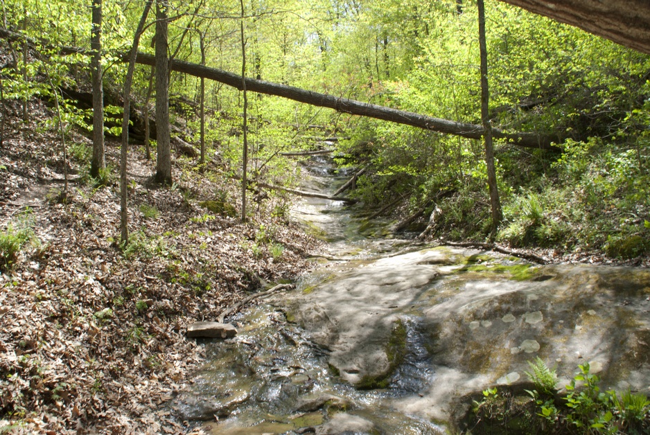
Before the levee was built, The Sny, or Sny Channel, diverted from the main channel of the Mississippi River about ten miles south of Quincy, zig zagging some 78 miles to cover 54 miles before it rejoined the Mississippi River around Hamburg, Illinois. This channel, or bayou, snaked through Adams, Pike, and Calhoun Counties, creating a maze of interconnected waters in a vast wetlands complex.
Before the levee was built, the bottoms around the Sny Channel were covered by a mix of tall grass prairies and towering deciduous trees (willow, oak, cottonwood, pecan). When the first Europeans moved into the area, the grasses in the bottomlands were tall and thick; early residents would often drag a tree behind their horses to mat down those grasses to create a road. Native Americans and early hunters traditionally cleared the grasses in the fall by setting them on fire; farmers weren’t too keen on this, as they could lose their houses, so they built fire breaks around their property.
It’s not entirely clear how this channel got its name. French explorers named the slough Chenal Ecarte but this somehow came into English as Sny. The area was labeled “Snikarke” on an 1818 map, while Europeans who arrived in the area in the early 19th century called it Snycartee, which later just became The Sny. Depending upon who and where you are, The Sny could mean the waterway itself or the entire wetlands complex. In addition, people who lived between the Mississippi River and The Sny often called their home Sny Island, or just The Island (which was a pretty liberal interpretation of the island concept).
The area wasn’t especially well thought of by those early European residents. In 1909, not long after the levee had been built, Captain M.D. Massie wrote:
Without improvement it is entirely useless, and even a source of malaria and sickness.
—from Past and Present of Pike County, Illinois; 1906; p. 109
That kind of attitude was the norm then (and is today, to a somewhat lesser degree), so folks got busy trying to “improve” on the wetlands by draining it for agriculture. The Illinois constitution was amended in 1870, allowing the state to empower jurisdictions to authorize construction of drainage districts and flood control projects. The Sny project was the first.
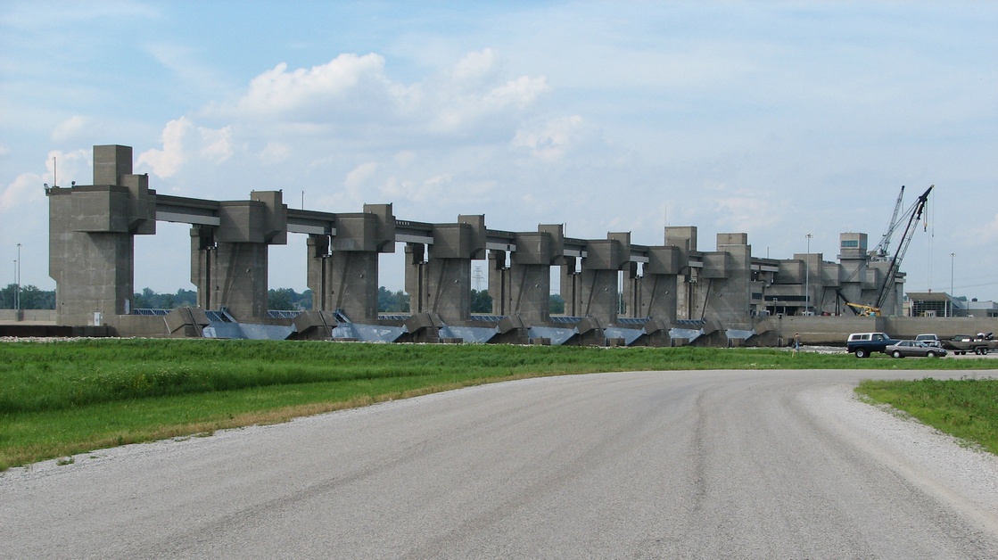
The Pike County Court authorized the Sny Drainage District in 1871 (now called the Sny Island Levee Drainage District). It was (and is) the largest such district in Illinois. Local landowners empowered the district to sell bonds to finance construction, which they paid back with taxes collected from landowners in the area. This model would be adopted in many other places around the country. Construction of the levee began in September 1872 and finished a couple of years later for $650,000. The levee had its problems from the beginning. Spring floods in 1873 and 1875 eroded the new levee and almost stopped the project. During the winter of 1872-73, hundreds of horses were infected by epizootic, forcing the work to halt. Eventually they got it finished, though. The levee is nearly 52 miles long, draining some 110,000 acres of land that was converted to agricultural use. After the levee was completed, land prices quickly jumped from $2-$10/acre to $40-$100/acre.
The levee was far from impermeable, though. On April 17, 1876, the Mississippi River cut a hole near Atlas; residents were forced to evacuate on boats to Hannibal. Additional breaks occurred in 1880, 1881, 1888, and 1903 but after that it held until the 1993 flood.
Besides the river, the levee district faced challenges from people who doubted its constitutionality, as well as from investors who weren’t happy about the pace of interest payments. The district, which was initially financed by bonds to be paid back from private landowners, survived those challenges, helped by a favorable decision from the US Supreme Court in which former President Benjamin H. Harrison represented the district.
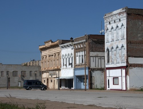
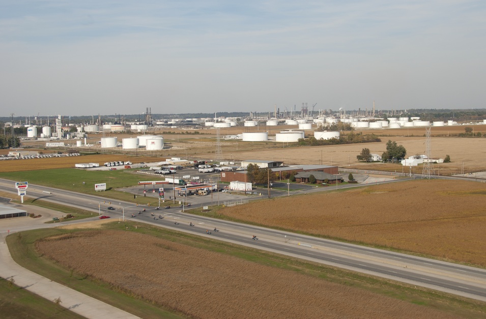
Back to Levee Township. It occupies 25 square miles in the northwest corner of Pike County. In 1950, the township had counted 218 residents but today it is less than 50. A cluster of small communities once dotted the area across the river from Hannibal, Missouri: Aladdin, Spenser, Shepherd, Douglasville, and East Hannibal.
There’s just a small community left at East Hannibal, and most of the others have long since vanished. Shepherd had a ferry landing for many years, plus a grocery store for the handful of people that called it home. It sat at the base of the Wabash Bridge, a railroad and wagon bridge that crossed the Mississippi in 1871. The village was home to the former Sny Club House, an entertainment venue where locals went to dance and/or fish, perhaps at the same time. When the Mark Twain Bridge was built (it opened in 2000), the access road pretty much ran right over the village.
Exploring the Area
The John Hay Public Use Area (Highway 106; 563.263.7913) has a boat ramp, good views of Hannibal, and room to pitch a tent but no services.

**Looking for more places to visit along the Mississippi River? Check out Road Tripping Along the Great River Road, Vol. 1. Click the link above for more. Disclosure: This website may be compensated for linking to other sites or for sales of products we link to.
Where to Go Next
Heading upriver? Check out Marblehead.
Heading downriver? Check out Hull.
Community-supported writing
If you like the content at the Mississippi Valley Traveler, please consider showing your support by making a one-time contribution or by subscribing through Patreon. Book sales don’t fully cover my costs, and I don’t have deep corporate pockets bankrolling my work. I’m a freelance writer bringing you stories about life along the Mississippi River. I need your help to keep this going. Every dollar you contribute makes it possible for me to continue sharing stories about America’s Greatest River!
©Dean Klinkenberg, 2024, 2021, 2018,2013,2011