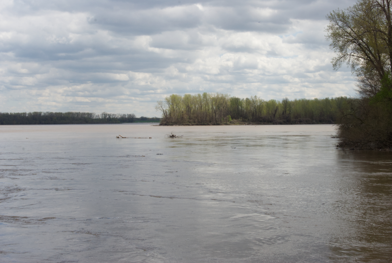
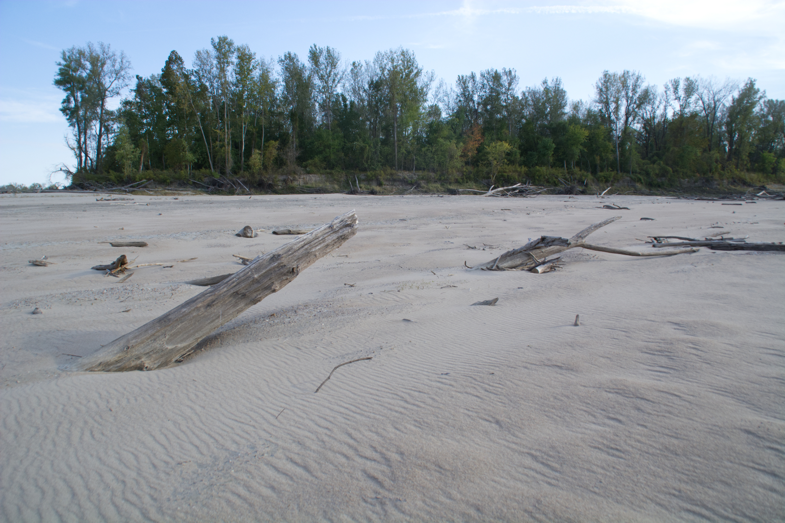
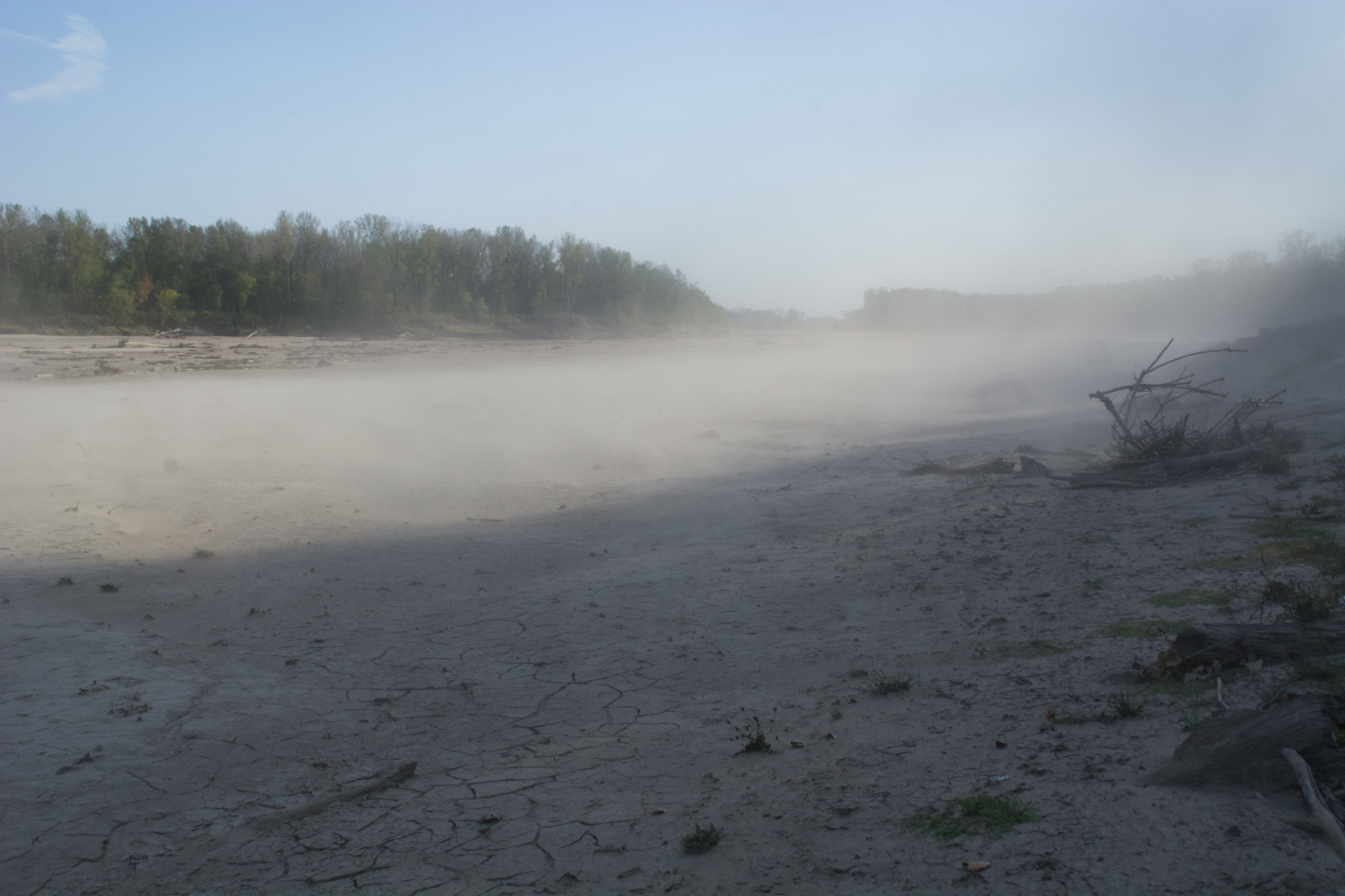
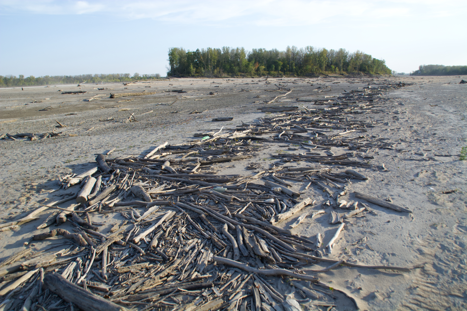
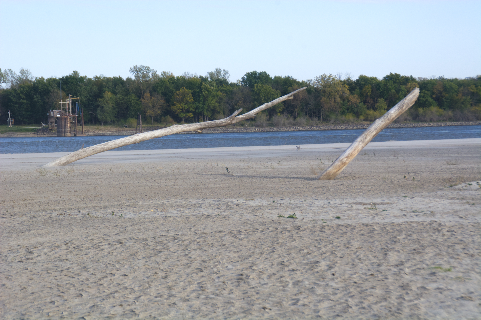
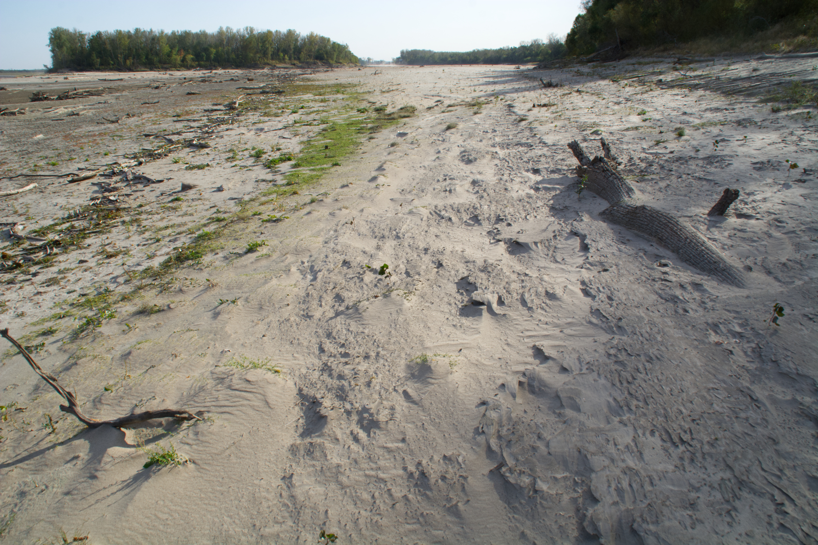
Last weekend, I hiked to Duck Island through a dust storm. That’s not a sentence I ever expected to type. For one thing, Duck Island, as the name implies, is an island. It sits just downriver from the c0nfluence of the Missouri and Mississippi Rivers in Columbia Bottom Conservation Area and is usually best reached in a boat, as the channel on the west side of the island typically has a few feet of water in it.
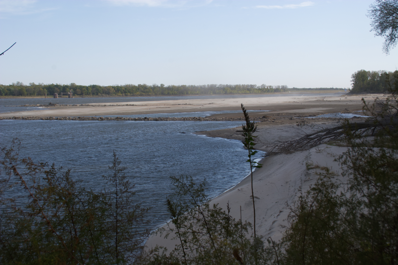
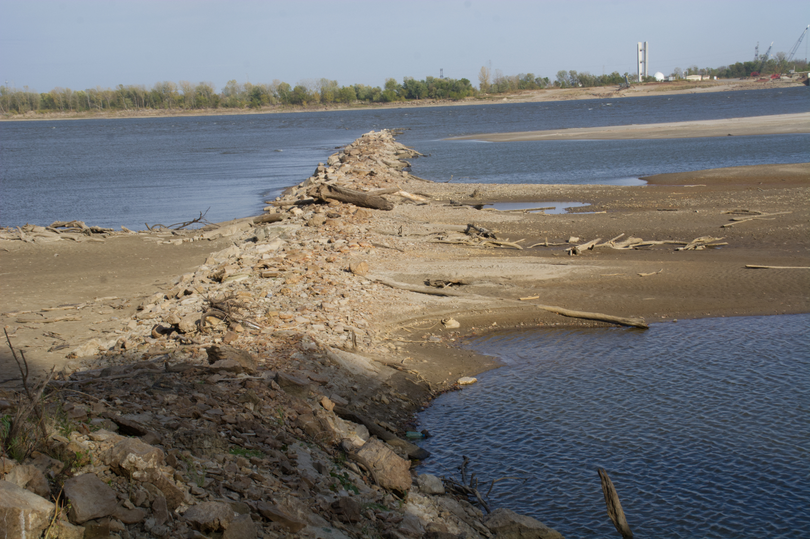
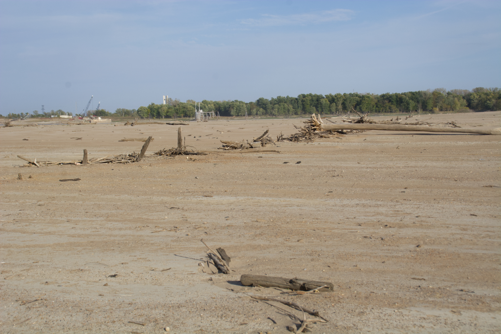
Not last weekend, though. The rivers are low, not unusually low, but low enough that the wing dams did their job and diverted water from the back channel into the main channel of the Mississippi, so barges had enough water to keep moving on the river. This channel has been dry before, but this was the first time I felt like I was walking across a desert rather than what had recently been the bottom of the river.
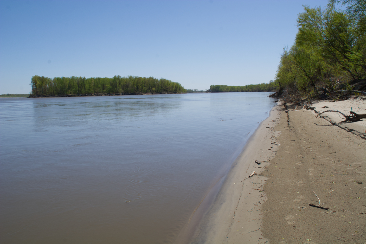
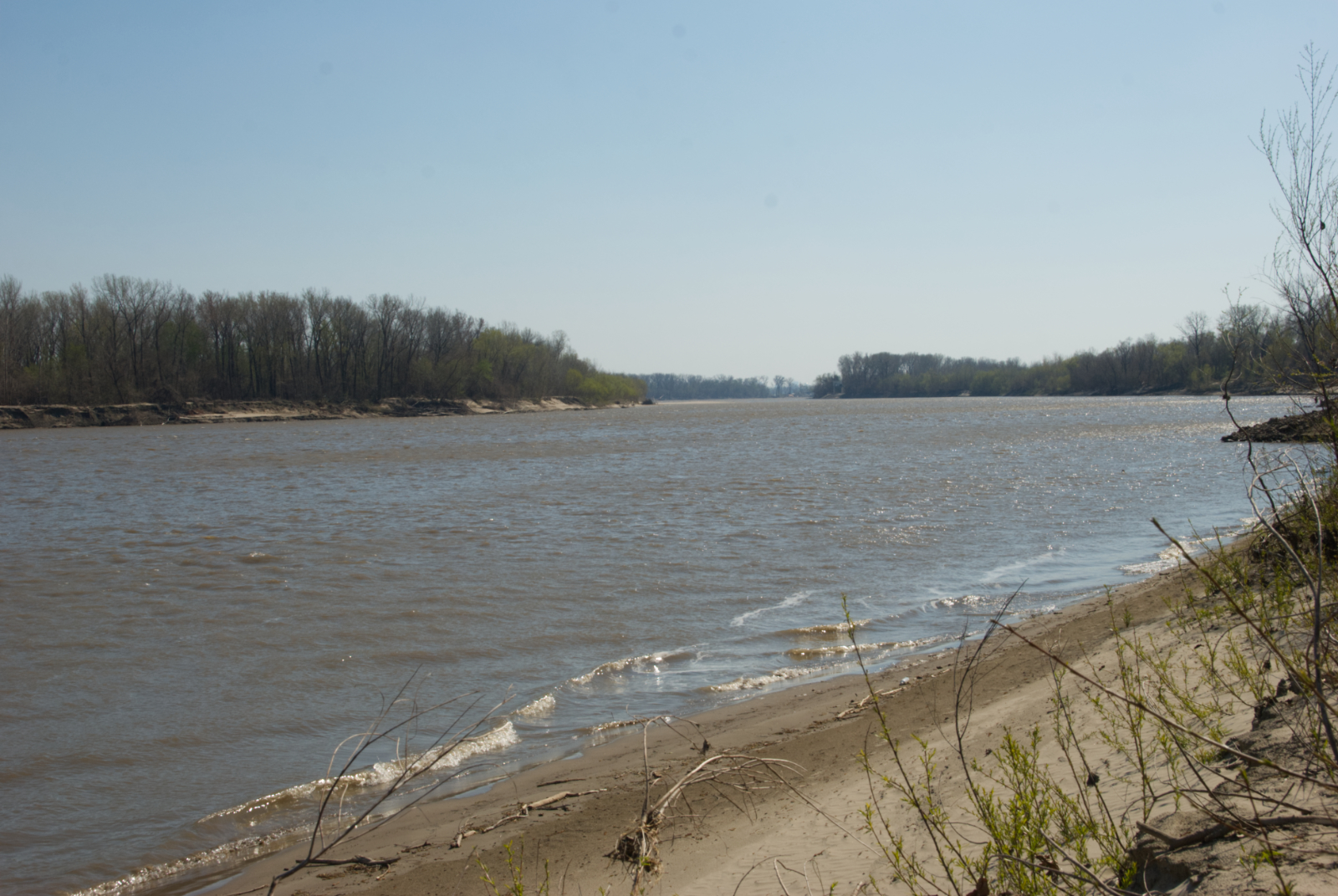
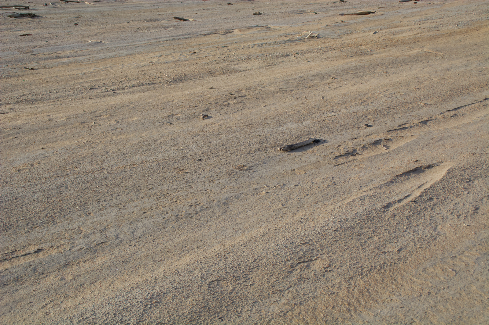
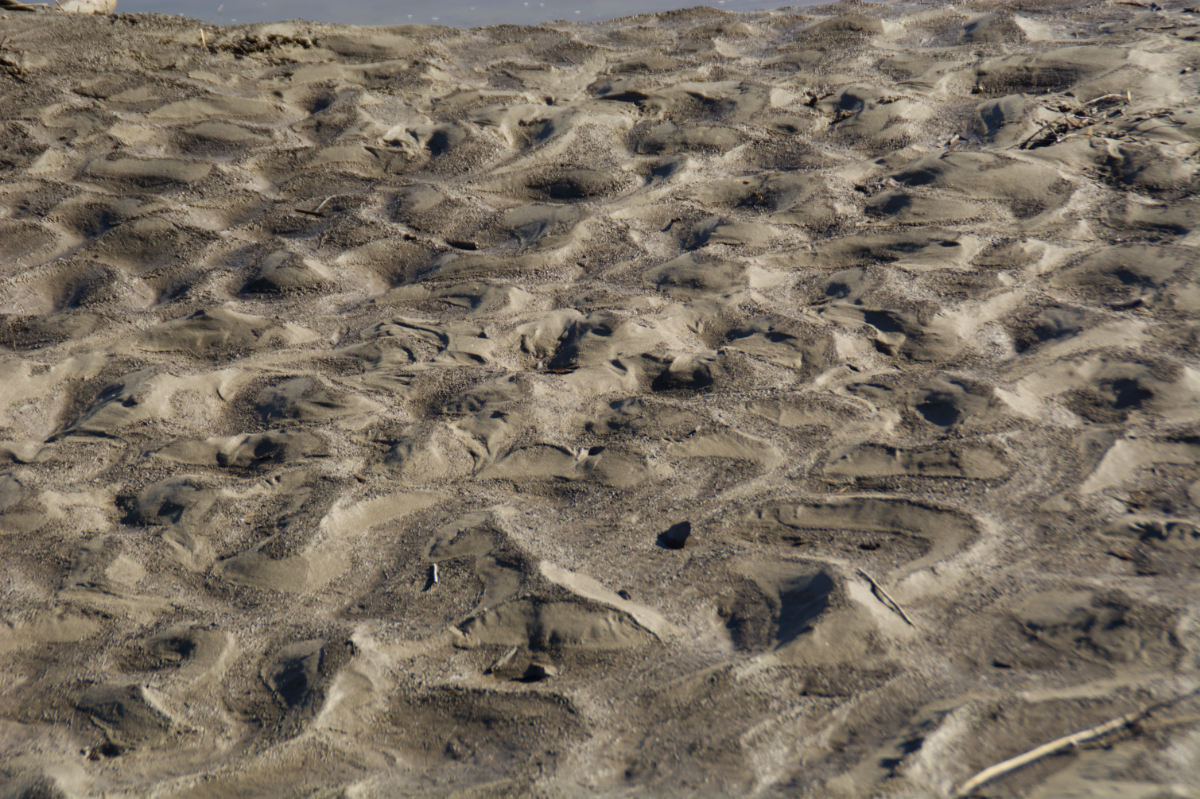
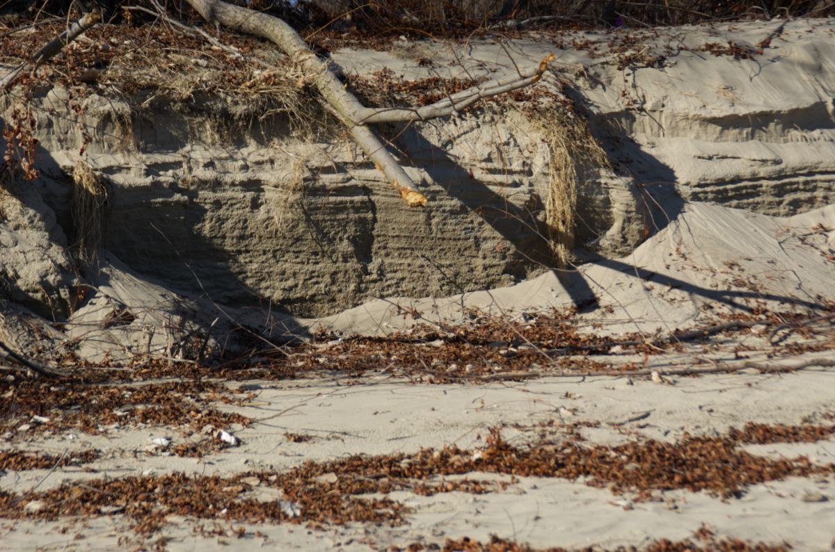
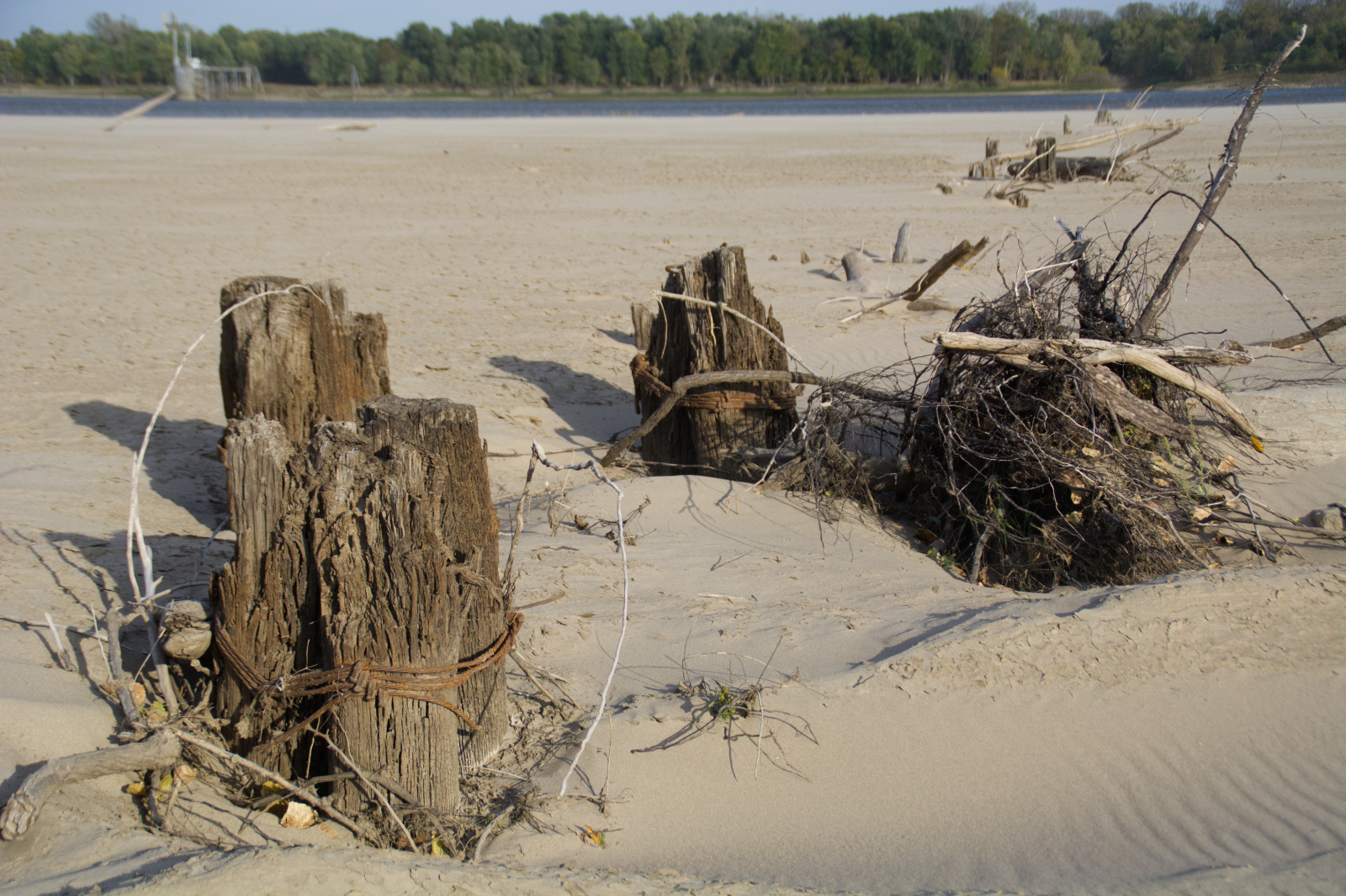
For an hour, I walked around and explored the sights. One of the cool things is that the structures built to make the river more navigation friendly are visible at low water, including the remnants of an old wooden dike that probably date to the 19th century. You also get to see some of the debris that can quickly turn a leisurely boat ride into an insurance claim.
Check out the photos below to see a bit of what I saw.
**Want to know more about the places along the Mississippi River? Check out Road Tripping Along the Great River Road, Vol. 1. Click the link above for more. Disclosure: This website may be compensated for linking to other sites or for sales of products we link to.


