Population (2010)
4,207
Introduction
Bounded by the Mississippi River on one side and the Black River on the other, French Island is an unincorporated part of the La Crosse region that has some of the best waterfront views.
Visitor Information
Direct your questions to the good folks at Explore La Crosse (608.782.2366).
Arriving in Town
The only routes onto the island are from Interstate 90 in the middle and Clinton Street on the south. The main north-south routes are County Highways B (Bainbridge St., then Dawson Ave., then Fanta Reed Rd.) and County Highway BW (Lake Shore Dr.).
History
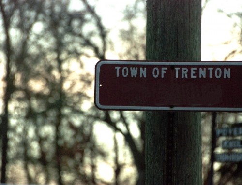
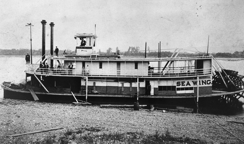
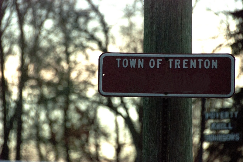
French Island (technically the Town of Campbell) gets its name from the presence of early French Canadian settlers on the island. One of the earliest arrivals was Montreal native Xavier Goyette, who arrived in 1849 after living in Dubuque for a while. Another major figure was Moses Jolivette, also from Montreal; he settled on the island in 1852. Then again, maybe the island is named for the Englishman Joseph French, who arrived in 1851 and farmed 360 acres on the island. I found sources that attributed the island’s name to both stories, so pick your favorite.
French Island had a few sawmills but farming was the main industry for generations. When North La Crosse was annexed in 1871, the Town of Campbell was split in two (it used to go much further west). Because state law requires that townships be contiguous, the section east of North La Crosse became the Town of Medary. The township lost some land when the lock and dam system was built and a bit more to the expanding cities of La Crosse and Onalaska. La Crosse has tried many times—unsuccessfully—to annex the entire township. Residents have made a few attempts to incorporate as a village (as recently as 2002), but there just hasn’t been a lot of enthusiasm for the idea.
Exploring the Area
The Upper Midwest Environmental Sciences Center (2630 Fanta Reed Rd.; 608.781.6398) is part of the US Geological Survey and home to unheralded scientists who are doing important work to improve water quality and reduce the impact of invasive species. There are exhibits in the lobby describing their work; you can also sign in at the desk and walk down to the outdoor classroom, which is along the backwaters and has a hiking trail through three ecosystems: oak savanna, prairie, and bottomland forest. Tours of the rest of the facility (including the tanks where they breed fish for their research) can be arranged for groups of at least 10 people with advance notice.
If you take County Highway B to Fanta Reed Road and follow it around the east side of the airport, it will become Fishermans Road and wind around the airport to the north; this narrow strip of undeveloped land has boat ramps and many places to stop and enjoy Lake Onalaska.
Parks Along the Mississippi River
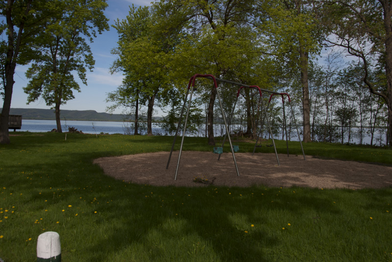
On the northwest part of the island, quiet Nelson Park (Lakeshore Dr.; 608.789.7533) is a great place to picnic next to Lake Onalaska. Follow Lakeshore Drive until it ends.
**Looking for more places to visit along the Mississippi River? Check out Road Tripping Along the Great River Road, Vol. 1. Click the link above for more. Disclosure: This website may be compensated for linking to other sites or for sales of products we link to.
Community-supported writing
If you like the content at the Mississippi Valley Traveler, please consider showing your support by making a one-time contribution or by subscribing through Patreon. Book sales don’t fully cover my costs, and I don’t have deep corporate pockets bankrolling my work. I’m a freelance writer bringing you stories about life along the Mississippi River. I need your help to keep this going. Every dollar you contribute makes it possible for me to continue sharing stories about America’s Greatest River!
©Dean Klinkenberg, 2024, 2021, 2018,2013,2011