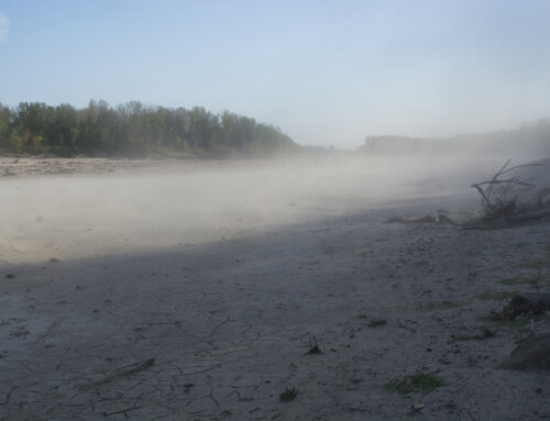
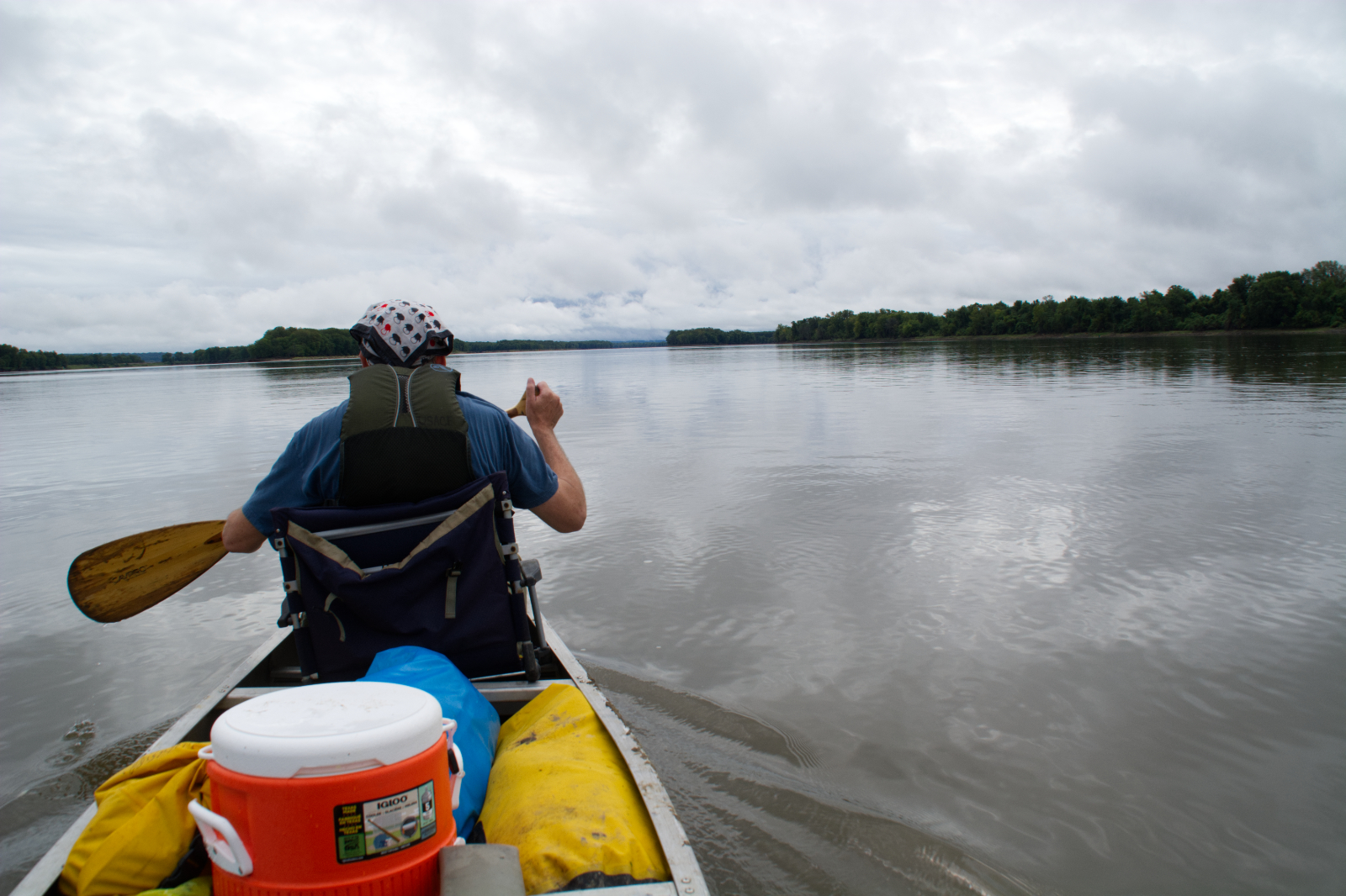
While we settled on the name Mississippi by the mid-eighteenth century, we were still trying to define what body of water that name applied to—specifically, just where the river we called Mississippi began. This wasn’t just an act of intellectual curiosity. At the end of the eighteenth century, border disputes between the U. S. and England couldn’t be resolved without identifying the source of the Mississippi. The task of finding the Mississippi’s source, though, wasn’t quite as simple as you might think, because the area where the Mississippi begins is a vast and wild area of lakes and streams that all seem connected to each other, which they are, more or less.
Jonathon Carver was one of the first Europeans to speculate on the river’s source. He explored the upper part of the river beginning in 1766 and concluded that the river’s source was Lake Pepin. He only missed by a few hundred miles.
In 1798, British surveyor David Thompson dipped into northern Minnesota to poke around for the Mississippi’s source, settling on Turtle Lake (north of today’s Bemidji and about forty miles from Lake Itasca). Zebulon Pike, who explored the upper reaches of the Mississippi in 1805-1806 thought the river began at Leech Lake, which is about thirty-four miles east of Lake Itasca (although he also identified Red Cedar Lake, now Cass Lake, as the “upper source” of the Mississippi). General Lewis Cass thought Pike’s idea had some merit; he, too, thought Red Cedar Lake was the source of the Mississippi.
The colorful Italian explorer Giacomo Beltrami slogged through the area in 1823, stating with great confidence that the Mississippi began at a place he called Lake Julia (which he also declared the source of the Red River of the North); Lake Julia is some sixty miles north of Lake Itasca.
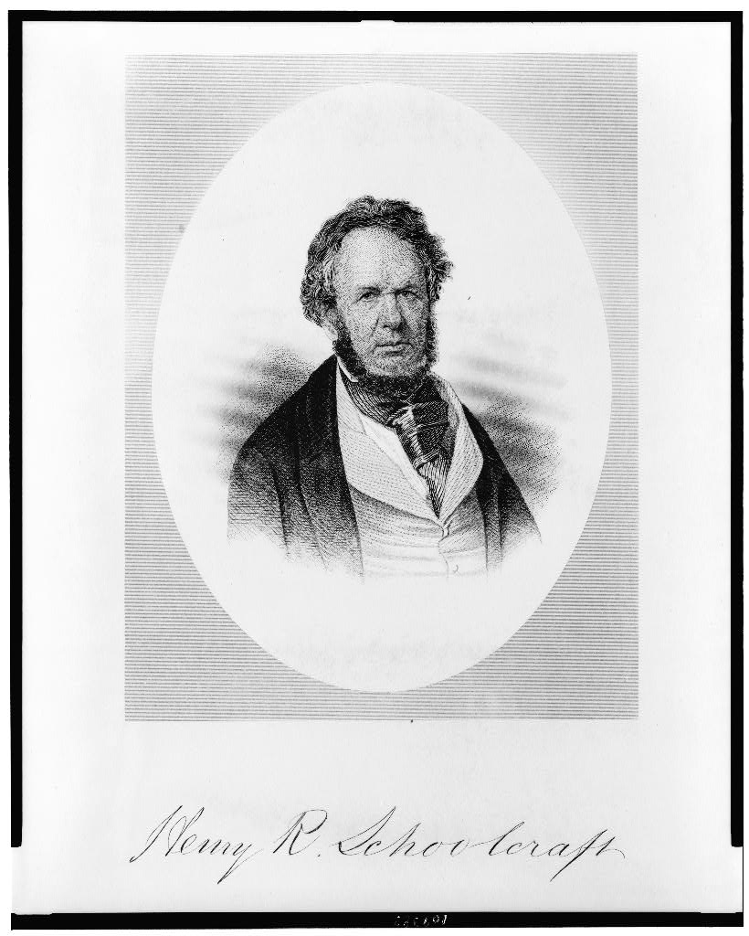
Henry Schoolcraft
Henry Schoolcraft had been on Cass’ 1820 expedition that identified Cass Lake as the source. Schoolcraft, though, noticed a small stream that emptied into Cass Lake on the west side. In 1832, he went back to follow that stream, hiring an Ojibwe man named Ozaawindib, who led Schoolcraft to what we now call Lake Itasca. It’s doubtful that Schoolcraft would have made it there on his own, but Ozaawindib knew exactly where to go, because, well, he lived there. Schoolcraft wrote in his journal on July 13:
What had been long sought, at last appeared suddenly. On turning out of a thicket, into a small weedy opening, the cheering sight of a transparent body of water burst upon our view. It was Itasca Lake—the source of the Mississippi.
The Ojibwe called the lake Omashkoozo-zaaga’igan (Elk Lake). Early French voyageurs had also visited the lake and adopted the same name, translating it into French as Lac la Biche. Trader William Morrison claimed to have visited the lake several times in the early 1800s when he worked as a trader in the area.
So Schoolcraft wasn’t the first Euro-American to visit the lake, and other people were already pretty sure that the lake was the source of the Mississippi. Maybe that’s why Schoolcraft’s visit was so quick and lacked any real scientific rigor. In his 3 ½ hour visit, he jotted down a few hasty notes about the lake, its shape, and wildlife—much of which was wrong—and turned around and returned to Fort Snelling.
He trusted the information he got from talking with traders and Ojibwe Indians that the lake was the true source. He and his party zipped over to the lake during a military mission and did a quick look around, observing that the lake was in a bowl-shaped depression with no other streams coming or going.
One of the members of the Schoolcraft expedition, Lieutenant James Allen, dutifully recorded this observation:
There can be no doubt but that this is the true source and fountain of the longest and largest branch of the Mississippi. All our information that we had been able to collect on the way, from traders and Indians, pointed to it as such; and our principal Indian guide, Yellow Head [Ozaawindib], who has proved to us his close intelligence of the country, represents the same. . . . In fact, the whole country showed that there was no stream beyond, for the lake was shut in on all sides by pine hills, and the only opening through them was that by which it discharged itself.
Schoolcraft, though, got credited as the discoverer of the source of the Mississippi. His prize, besides lasting fame, was christening the lake with a proper European-sounding name. With the help of William Boutwell, he coined the name Itasca by borrowing letters from two Latin words: verITAS (truth) and CAput (head).
The headwaters
That settled the issue, right? Not exactly. Just four years after Schoolcraft’s trip, Joseph Nicollet visited the area and found a small creek that flowed into Lake Itasca. He called this creek the “infant Mississippi;” we now call it Nicollet Creek. This creek would prove troublesome for some folks, who believed that the lake it emerged from, Elk Lake, was really the source of the Mississippi. This included Julius Chambers, who said as much in 1872, and U. S. Surveyor Edwin Hall, who did the same in 1875. Willard Glazer was quite confident that Elk Lake was the proper source of the Mississippi (so he tried to rename it after himself), but when it was discovered that he had plagiarized most of his material, his ideas were ignored.
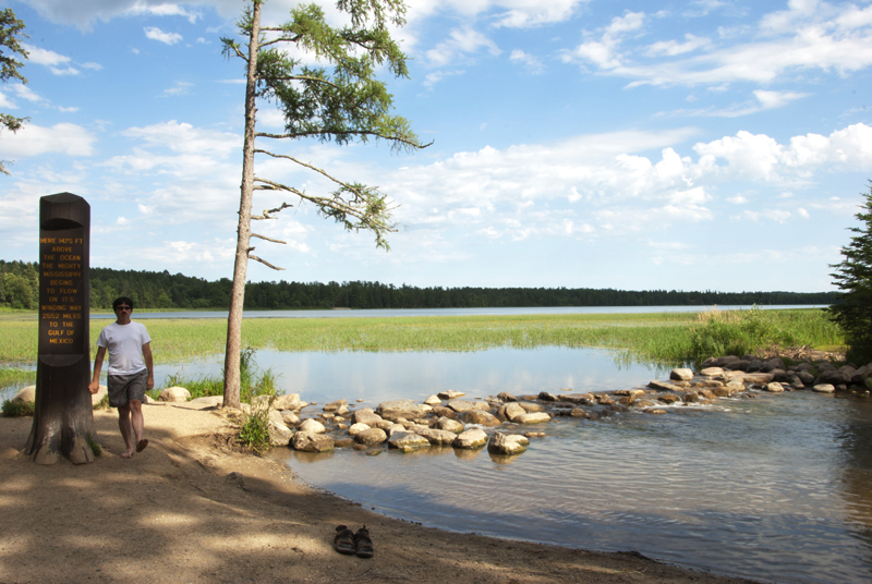
Finally, in 1888, Jacob Brower did a detailed survey of the basin and determined that Lake Itasca was the true source after all, because the two inlets into Lake Itasca, Nicollet and Chambers Creeks, usually dried up in the summer. Case settled. Almost.
Some hydrologists today consider the source to be Hernando de Soto Lake because it has an underground aquifer that connects to Lake Itasca. Schoolcraft and everyone who followed him had only been looking for observable sources that were above ground.
Maybe everyone is right, even Beltrami. Defining the “source” of river, especially a big one, is difficult and there is no single, widely accepted method. Two definitions have been common: the most distant point upstream that carries the most water and the farthest point upstream on the longest tributary.
Neither definition works perfectly. As for the former, the volume of water in a river varies throughout the year, so someone would have to measure river volumes many times a year for several years to get a reliable average, and who wants to do that?
The latter definition isn’t much better. When Americans ran around assigning their own names to rivers, they didn’t always know how long each river’s tributary was. Besides, rivers are dynamic and often cut new channels through meanders. A river that measures up today might not be the headwaters stream tomorrow after it shaves a few miles off its length.
Modern hydrologists take a different approach. They categorize rivers based on its number of branches using a system proposed by Arthur Strahler in 1952 (usually called the Strahler stream number, of course). A first-order stream has no tributaries; a second-order stream is created when two single-order streams merge. In this system, first- through third-order streams could be considered headwaters streams, and a stream doesn’t become a river until it reaches the seventh order (when two sixth-order streams merge). Based strictly on stream order, the Mississippi officially becomes a river just north of Minneapolis when it merges with the Crow River; by the time it reaches the Gulf of Mexico, the Mississippi is a tenth-order river. (The Amazon tops out as a twelfth order river, the highest for any river on the planet.)
This system basically dodges the issue of defining a wellspring by acknowledging that a river grows from multiple sources, all those lower order streams. A river may therefore have headwaters, but it doesn’t start from a single source. If you tried to mark the Mississippi Headwaters based on the Strahler system, you’d therefore have to put up a sign at the beginning of the each of the hundreds of first- through third-order streams that feed the Mississippi, which would obviously take a lot of signs. Scientists just don’t make good publicists.
All of this is really just an academic exercise, though. The river we call Mississippi is just one part of a series of connected streams and rivers. We gave it a single name because it makes our lives easier to impose order on it. We’ve tried to define a set of rules for determining a river’s source or headwaters, but as humans, we’re just not that good at agreeing to a common set of rules, much less following them. So if you think you have a better way to define what we mean by the source of a river, feel free to propose it. I’m sure plenty of us would adopt it, and many more would be happy to tell you why it’s a terrible idea.
Disclosure: This website may be compensated for linking to other sites or for sales of products we link to.
Community-supported writing
If you like the content at the Mississippi Valley Traveler, please consider showing your support by making a one-time contribution or by subscribing through Patreon. Book sales don’t fully cover my costs, and I don’t have deep corporate pockets bankrolling my work. I’m a freelance writer bringing you stories about life along the Mississippi River. I need your help to keep this going. Every dollar you contribute makes it possible for me to continue sharing stories about America’s Greatest River!