I like to make fun of travel magazines that are continually coming up with their lists of things that they think we have to experience: the 14 lizard-shaped islands with the fewest sandflies in the world! The 7 bistros with the best apple-tini/Panini combos!
I’ve tried to stay away from most of that silliness, but now that I’ve been exploring the Upper Mississippi River for a while, I find the temptation to come up with my own lists too great to resist. My lists are going to be more conventional, though, so, in the coming months I’ll be posting my picks for a variety of “Best of” type-deals for the Upper Mississippi River, from the Headwaters in northern Minnesota to the Ohio River at the southern tip of Illinois.
I’m going to kick it off with my choices for the best parks and natural areas: 30 sites along 1,347 miles of the Upper Mississippi River. These 30 choices are great places to experience the Mississippi River in all its variety at any time of year (just wear a couple more layers in winter): the best views, the best hikes, and the best range of experiences. I have generally excluded places that had great views but not much else; I prefer places that invite lingering. So here’s the list, in geographic order from north to south (with a photo gallery at the end):
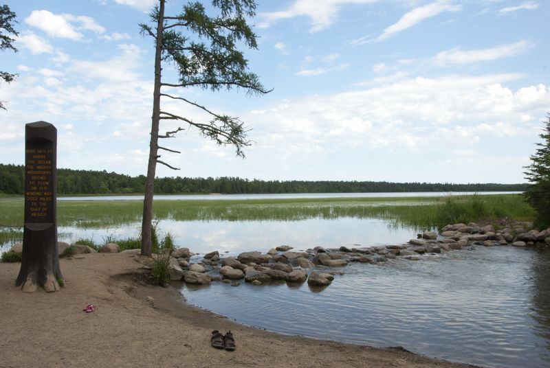
Itasca State Park
The bowl-shaped basin around Lake Itasca is the source of the Mississippi River, but there is so much more to this park than the human-enhanced outlet where the river emerges: deep woods, packs of wolves, hiking, biking, canoeing, and great views.
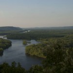
Chippewa National Forest
Chippewa National Forest sprawls over 660,000 acres of northern Minnesota, including over 50 miles of the Mississippi River and the big lakes it passes through. You can canoe on the Mississippi through the forest, as well as hike and camp near the river, while enjoying the flora and fauna of a second-growth forest.
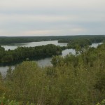
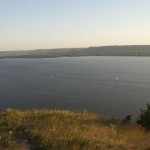
Cuyuna Country State Recreation Area; Crosby, MN
What happens to open pit mines after they close? In northern Minnesota, the groundwater seeps back in and the pits become the deep, clear water lakes of the Cuyuna Country State Recreation Area, framed to the north by the Mississippi River. The lakes are especially popular with paddlers, fishers, campers, and scuba divers.
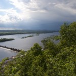
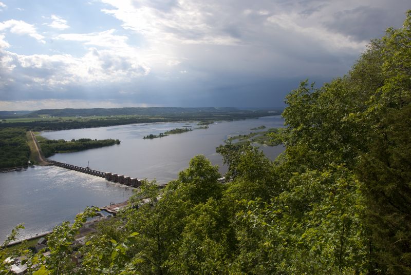
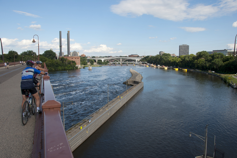
Mississippi National River and Recreation Area; Twin Cities, MN
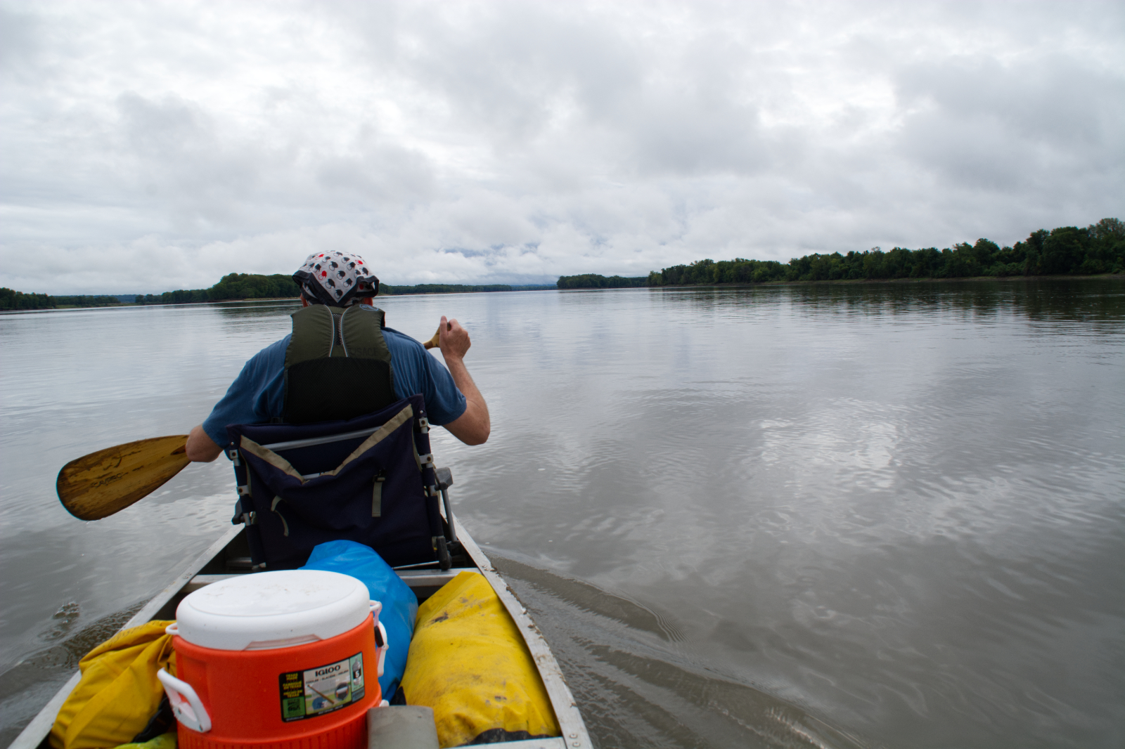
Running for 72 miles through the heart of a major metropolitan area—the Twin Cities—the Mississippi National River and Recreation Area includes river territory that ranges from pristine and secluded to dense and highly industrial. Spend some time along the river, and you’ll see the variety of ways that folks in the Cities enjoy the river: walking, biking, canoeing, kayaking, even stand-up paddling.
Barn Bluff Park; Red Wing, MN
Long a landmark to Native Americans and riverboat captains, Barn Bluff Park today offers moderately difficult hikes through goat prairie and forests up limestone hills with rewarding views at the top.
Maiden Rock Bluff; Stockholm, WI
A much fabled bluff (did an Indian maiden really jump to her death from this bluff because of love?), today a fairly easy hike through a blufftop ecosystem at Maiden Rock Bluff State Natural Area ends in goat prairies with expansive views of Lake Pepin.
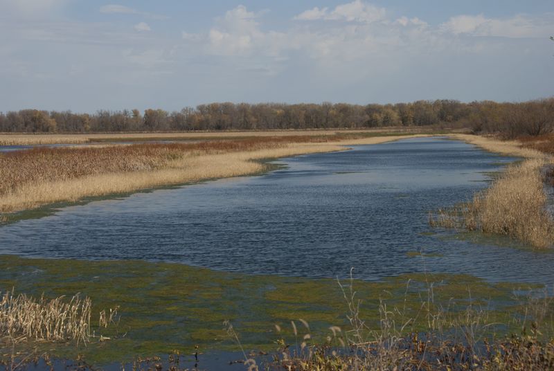
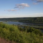
Chippewa River Delta; Nelson, WI
The lower Chippewa River offers a respite from the hustle and bustle of the 21st century life with a maze of sloughs, marshes, and dense riparian forests. Much of it is protected in either the 12,000 acre Tiffany Wildlife Area or the 4,000 acre Nelson-Trevino Bottoms State Natural Area, which are wonderful places to enjoy a quiet paddle.
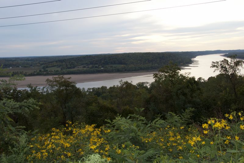
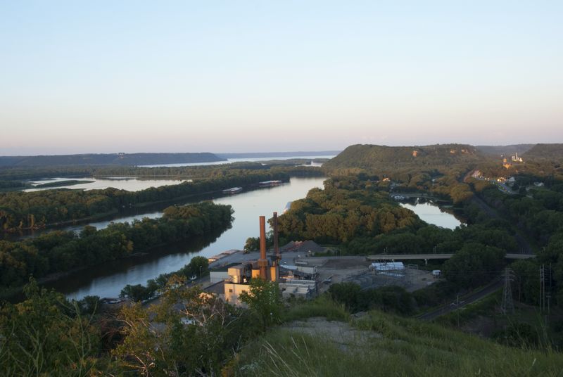
Buena Vista Park; Alma, WI
Buena Vista Park breaks the rule, making the list primarily for the incredible views—and they are spectacular—but there if you want to stretch your legs, there is a trail you can hike from the city of Alma at its base (begin at 2nd and Elm) to those glorious views at the top.
Trempealeau National Wildlife Refuge; Trempealeau, WI
A place of sublime beauty, Trempealeau National Wildlife Refuge never seems to have all that many visitors; easy hiking on flat trails around wetlands and riparian forest, with lots of good birding almost any time of year.
Perrot State Park; Trempealeau, WI
Good hiking, great views, camping, canoeing, and much more make 1,270 acre-Perrot State Park one of the best along the Mississippi River. The park is located along a stretch of the river where the channel narrows considerably and also includes the cone-shaped Trempealeau Mountain, long a sacred site for Native Americans and an important landmark for river travelers.
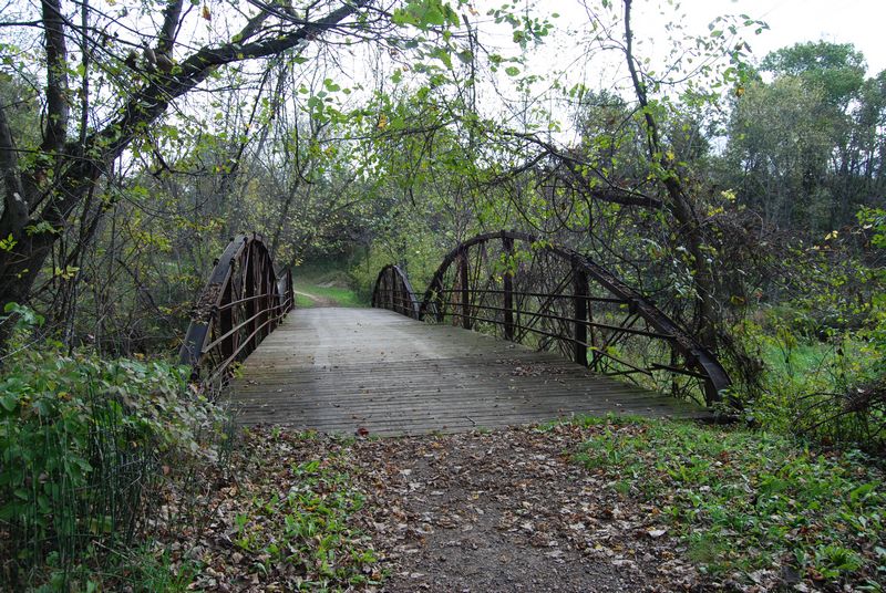
Van Loon Wildlife Area; New Amsterdam, WI
With 4,000 acres of wetlands and riparian forest along the Black River delta, the Van Loon Wildlife Area offers easy hiking and good birding, and is the site of six historic bowstring arch truss bridges built in the early 20th century.
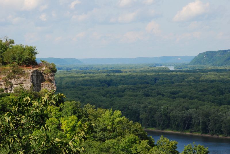
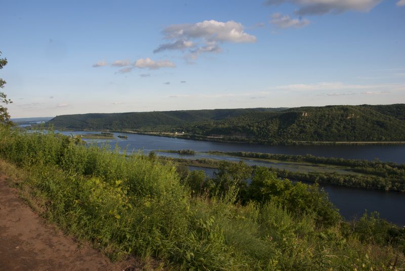
Great River Bluffs State Park; Dakota, MN
Within the 3,000 acres of Great River Bluffs State Park you will find some of the highest points along the Mississippi River and a network of hiking trails will get you to the edge of many of them for great views of the river valley.
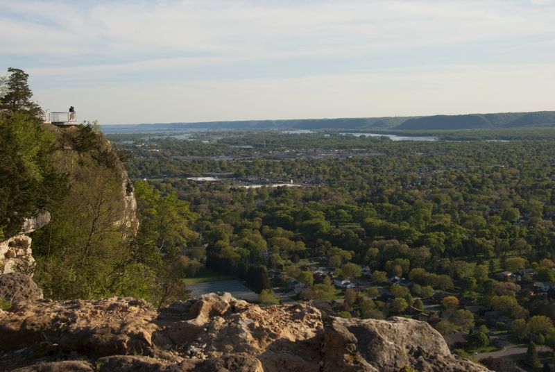
Hixon Forest/Grandad Bluff; La Crosse, WI
Hixon Forest and Grandad Bluff provide excellent escapes in the middle of the city, with easy to moderately difficult hikes that end with great views from the top of the bluffs. While most of the good hikes are in Hixon Forest, it’s possible to hike from the city to the top of iconic Grandad Bluff.
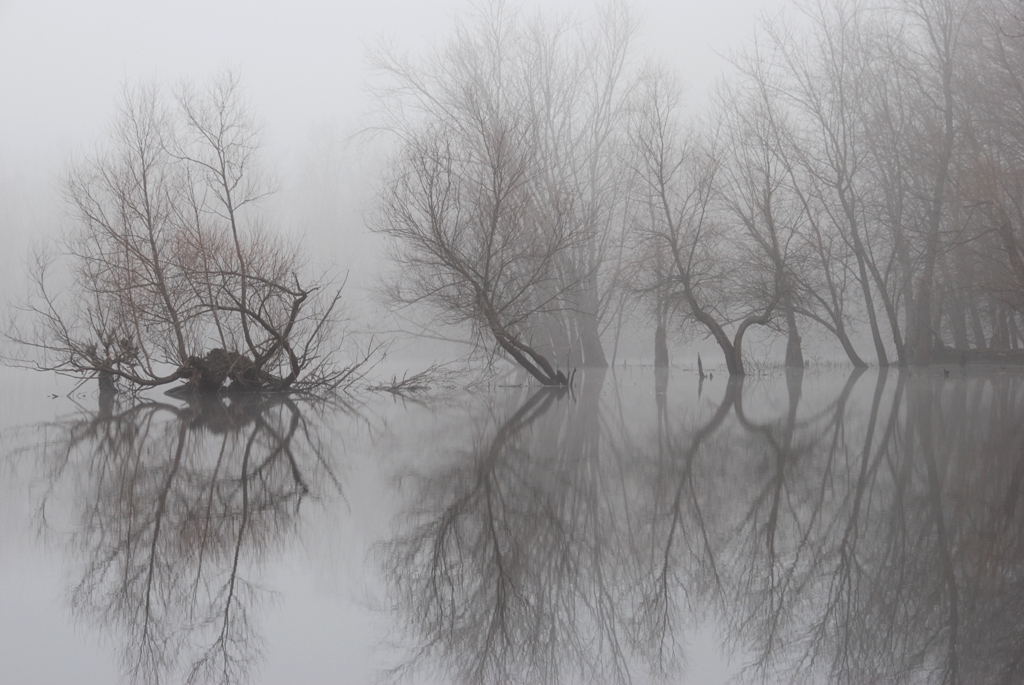
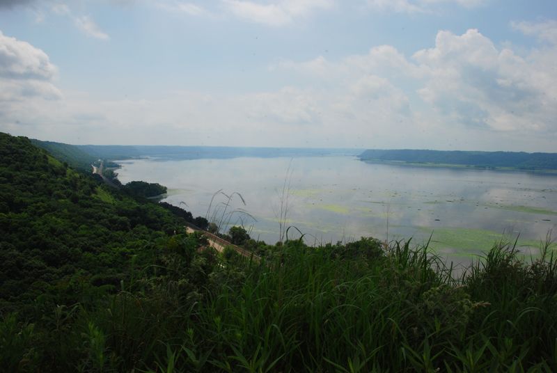
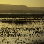
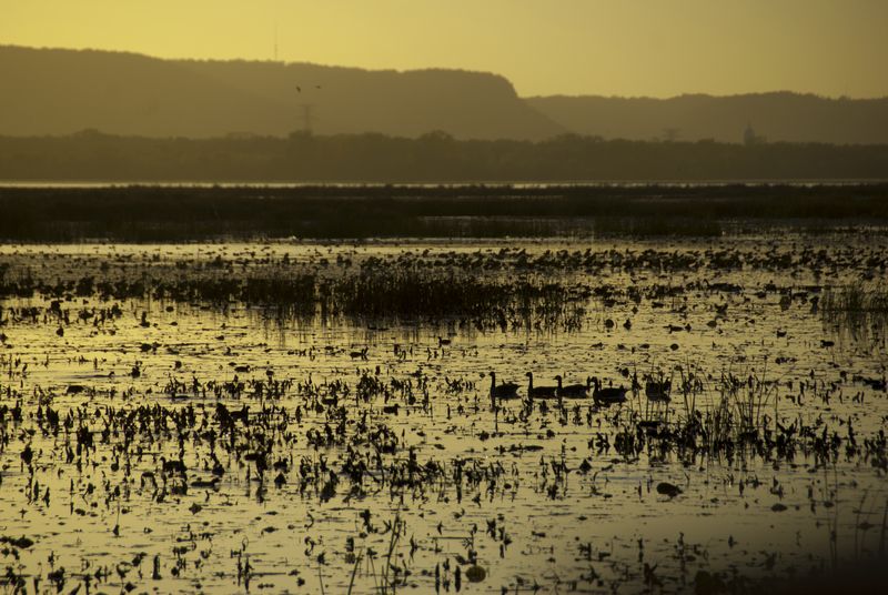
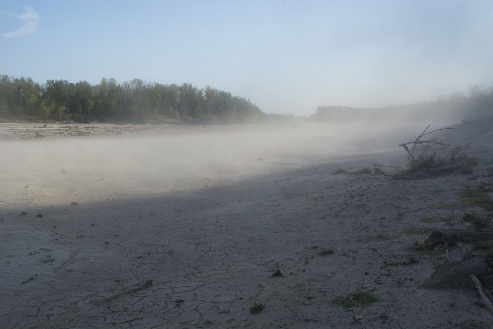
Reno Bottoms; Reno, MN
The lock and dam system drastically changed the ancient, braided channel of the Mississippi River, replacing it with open water in many places. At Reno Bottoms, you can experience the river as it once was, following shallow backwater channels that shift over time and with changing water levels. The area is also home to numerous nesting pairs of bald eagles.
Rush Creek State Natural Area; Ferryville, WI
A moderately difficult hike at Rush Creek State Natural Area will get you to what just might be the best views of the Mississippi River, anywhere, as wide goat prairies open up to a view of the river as it makes a sharp turn to the west. Just look out for rattlesnakes in the summer and hunters in the fall.
Effigy Mounds National Monument; Marquette, IA
Iowa’s only national monument preserves over a hundred ancient burial and ceremonial mounds, many over a thousand years old. Effigy Mounds National Monument is divided into three units, with challenging hikes and rewarding views of the river valley at the north and south units.
Wyalusing State Park; Wyalusing, WI
I’m only going with one park at the Mississippi/Wisconsin Rivers confluence, and, while Pikes Peak State Park in Iowa has better views, Wyalusing State Park is nearly three times the size and has more to offer visitors: canoeing, hiking, camping (on the edge of the bluff), and swimming.
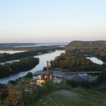
Eagle Point Park; Dubuque, IA
Eagle Point Park is a blufftop park with spectacular views and historic Prairie-style architecture to go with the usual picnicking and park fun.
Mississippi Palisades State Park; Savanna, IL
More good hiking, more good views, a big campground plus a few isolated hike-in sites all spread out over 2,500 acres of blufflands at Mississippi Palisades State Park; one of the few places that allow rappelling.
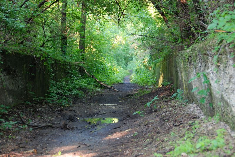
Sylvan Island; Moline, IL
Sylvan Island is an atmospheric place where hiking trails snake between trees and bushes that have grown up and around the rotting concrete foundation the long-closed Republic Steel Works.
Port Louisa National Wildlife Refuge
Port Louisa National Wildlife Refuge protects a slice of wild river in southeast Iowa and southwest Illinois, with plentiful backwaters and sloughs and riparian forests.
Ted Shanks Conservation Area; between Louisiana and Hannibal, MO
A large preserve amidst floodplain farms, the 6,705 acres of Ted Shanks Conservation Area include nine miles along the Mississippi River and two miles of bluffs, plus oxbow lakes, bottomland hardwood forest, and wetlands galore, all around the mouth of the Salt River.
Clarence Cannon National Wildlife Refuge; Annada, MO
Preserving nearly 4,000 acres of land in the floodplain, Clarence Cannon protects a range of wildlife in a diverse habitat of bottomland forest and marshes; a good place for birding, especially in the spring and fall.
Mississippi River/Illinois River confluence; Grafton, IL
Spread out over 24,000 acres in 15 different units, Illinois’ Mississippi River State Fish & Wildlife Area encompasses parts of both the Mississippi and Illinois Rivers, with wetlands the focus. Some areas are only accessible by boat. The nearby Two Rivers National Wildlife Refuge protects 8,500 acres, most of it in peninsular Calhoun County (IL). If that’s not enough, Illinois’ Pere Marquette State Park has miles of good hiking, a fine CCC-era lodge and restaurant, and a good campground.
Riverlands Migratory Bird Sanctuary/Confluence Point State Park; West Alton, MO
We are lucky to have so much of the land around the confluence of the Missouri and Mississippi Rivers owned by and accessible to the public. Just upriver from the confluence along the Mississippi River, the Riverlands Migratory Bird Sanctuary offers hiking and birding in restored wetlands spread over several units. Jones-Confluence Point State Park is my favorite spot to view the confluence itself. You can walk out along a triangular piece of land and feel the Mississippi River on your left and the Missouri River on your right. Awesome.
Tower Rock Natural Area; Altenburg, MO
In Life on the Mississippi, Mark Twain described Tower Rock as “a huge squat pillar of rock, which stands up out of the water on the Missouri side of the river–a piece of nature’s fanciful handiwork–and is one of the most picturesque features of the scenery of that region.” During low water, you can often walk to it from the Missouri shore, but you can always hike along the shore.
Trail of Tears State Park; Cape Girardeau County, MO
Located along the route of the tragic forced march that took the lives of hundreds of Cherokee Indians, Trail of Tears State Park pays homage to their memory and legacy. The park is more than a memorial site, however. Visitors will also find an extensive network of trails through blufftop forests with good views of the river valley.
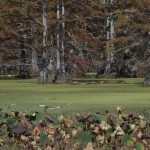
Horseshoe Lake Nature Preserve; Miller City, IL
Once a part of the Mississippi’s main channel, the river shifted course and cut off this old oxbox, leaving behind Horseshoe Lake with a rich and diverse ecosystem that will remind you more of southern swamps than Midwestern wetlands, with bald cypress, swamp cottonwoods, and plentiful wild lotus.
Shawnee National Forest; IL
Sprawling across 300,000 acres of southern Illinois, the Shawnee National Forest includes hundreds of acres of bluffs and bottomland ecosystems of the Mississippi River, plus the eastern range of the Ozark Mountains with hills that roll from the Ohio to the Mississippi.
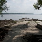
Fort Defiance State Park; Cairo, IL
A century ago these 38 acres were so much floating muck, shifting and swaying with the rivers; the namesake fort was actually located about a mile upstream from the park site. So you can cut some slack to Fort Defiance State Park for looking a little rough these days—too many floods recently and not enough money for repairs. The location is unbeatable, allowing you to get up close and personal at the very spot where the Ohio and Mississippi Rivers meet.
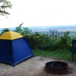
-

- Reno Bottoms on a foggy morning
-
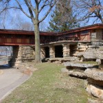
- Eagle Point Park; Dubuque, IA
-
- Hanging Rock; Effigy Mounds National Monument
-
- Horseshoe Lake
-
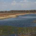
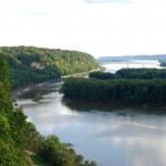
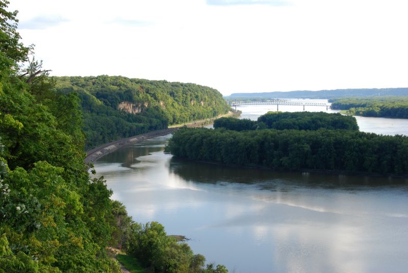
- Cuyuna Lakes
-
- Trail of Tears State Park
-

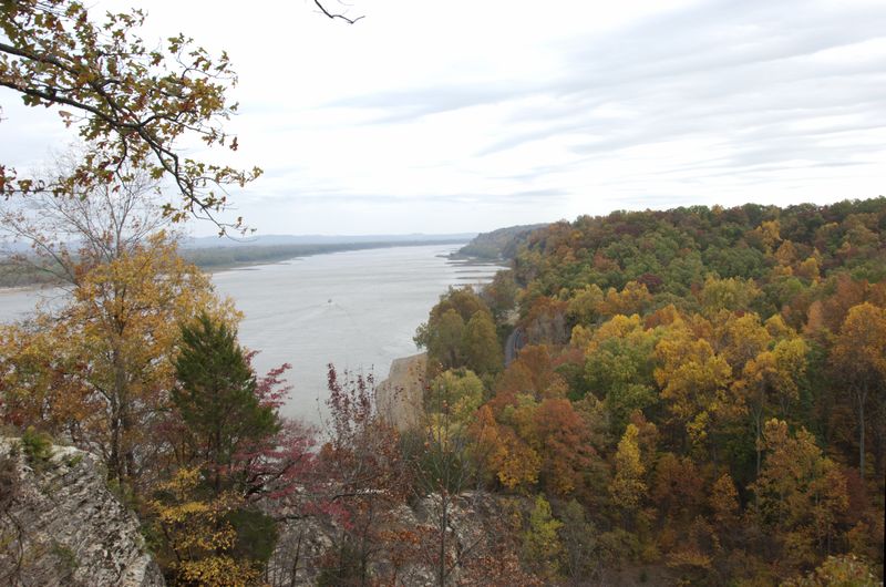
- Tower Rock

-
- Looking down from Fountain Bluff; Shawnee National Forest
-
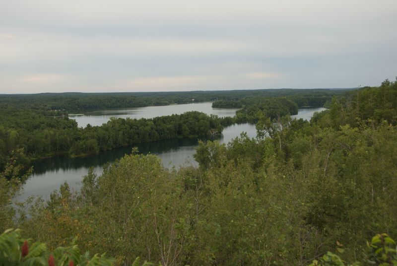
- Cass Lake near the Mississippi River outlet; Chippewa National Forest
-
- Itasca State Park
-
- Confluence Point; Mississippi River on the right, Missouri River to the left
-
- Pohlman Slough, near the Mississippi/Illinois confluence
-
- Clarence Cannon National Wildlife Refuge, backwater slough during drought year
-
- Ted Shanks Conservation Area
-
- Ferry Landing at Port Louisa National Wildlife Refuge
-
- View from Rush Creek State Natural Area
-
- Grandad Bluff
-
- Brady’s Bluff at Perrot State Park
-
- Trempealeau National Wildlife Refuge
-
- Looking down from Buena Vista Bluff
-
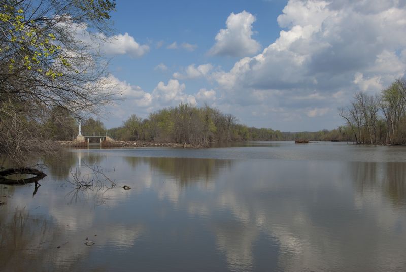
- Confluence of Chippewa and Mississippi Rivers

-
- Lake Pepin from Maiden Rock Bluff

-
- Looking south from Barn Bluff
-

- Minneapolis’ portion of the Mississippi National River and Recreation Area
-
- Confluence of Ohio and Mississippi Rivers
-

- Sylvan Island trail
-
- Mississippi Palisades State Park
-
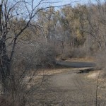
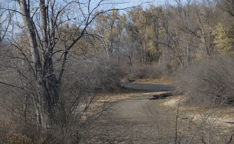
- Van Loon Wildlife Area
-
- Camping on the edge at Wyalusing State Park

© Dean Klinkenberg, 2012
